What is recorded here
Gorraun held a fort the land no longer shows. Men bulldozed it in the 1960s, believing they were improving what they did not understand. The enclosure disappeared, but its name remained a small wound in the local memory.
Not visible at ground level. Site was bulldozed in the 1960's during land improvements. Locally known as the 'fort'.
The above description is derived from the published 'Archaeological Inventory of County Offaly' (Dublin: Stationery Office, 1997). In certain instances the entries have been revised and updated in the light of recent research.
Date of upload: 23 May 2011
The monument record does not grant public access. Check the route and ask the landowner before entering private land.
- What survives
- Recorded monument
Places near here
 IndicatedKiln, lime · 425 yd
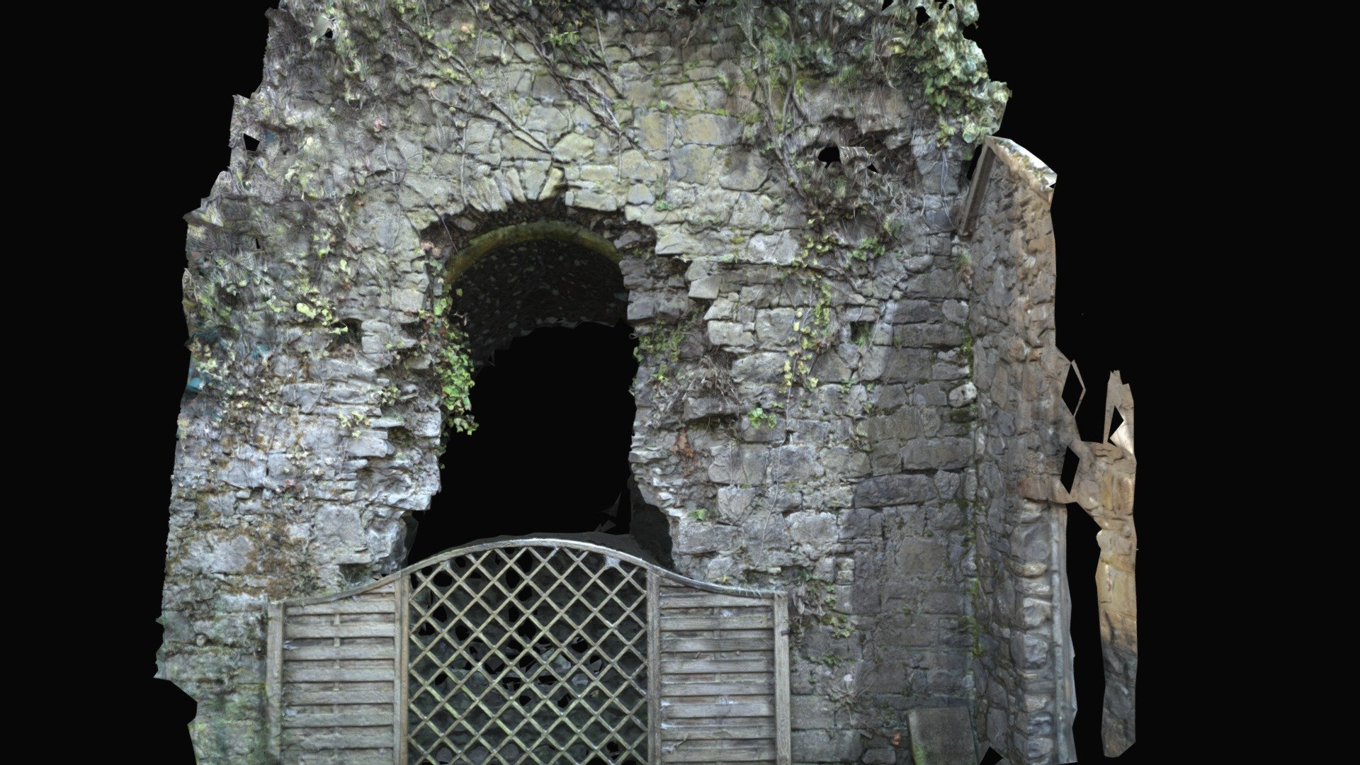 Enclosure in Keeloge (ballybrit By.)Enclosure · 744 yd
 BarrowBarrow, ring-barrow · 972 yd
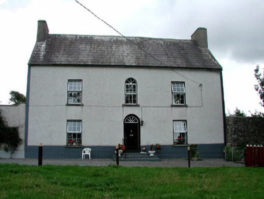 Summerhill Housefarm house · 1018 yd
 CastleCastle, ringwork · 1.1 mi
 Saint Kieran's WellSpring · 1.4 mi
 Bawn in DungarBawn · 2.0 mi
 Millennium GardenMemorial · 2.2 mi
 European YewEuropean Yew · 2.6 mi
 European BeechEuropean Beech · 2.8 mi
 Roscrea Petty Sessions HouseHeritage attraction · 3.2 mi
 FarbreagueMountain / peak · 3.3 mi