What is recorded here
Killderry, the church of the oak wood, still holds a hidden battle line beneath Monaghan pasture. The land may have swallowed swords, horses and shouting men before the fields were born. Cattle graze above the dead, unaware that grass can cover more than seed.
Situated on a rise in a fairly low-lying landscape. It is described only on the 1907 edition of the OS 6-inch map as Killderry – the church of the oak wood. Locally it is thought to be a burial ground for those killed in a battle. No archaeological feature is visible at ground level in pasture.
The above description is derived from the published 'Archaeological Inventory of County Monaghan' (Dublin: Stationery Office, 1986). In certain instances the entries have been revised and updated in the light of recent research.
Revised by: Michael Mooe
Date of revision: 8 May 2018
The monument record does not grant public access. Check the route and ask the landowner before entering private land.
- What survives
- Recorded monument
Places near here
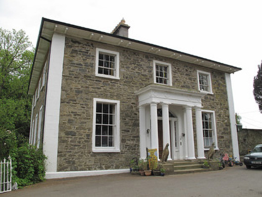 Scarvy Housecountry house · 553 yd
 IndicatedCrannog · 571 yd
 European YewEuropean Yew · 594 yd
 Standing stone in ScarvyStanding stone · 772 yd
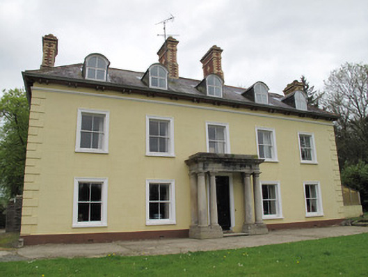 Ferney Housecountry house · 1008 yd
 Mullaghmore WoodWood · 1.4 mi
 Ulster Canal Stores Visitor CentreHeritage attraction · 1.4 mi
 Abbey RuinsHeritage attraction · 1.5 mi
 Bawn in CrossmoyleBawn · 1.5 mi
 CastleCastle, motte and bailey · 1.6 mi
 Saint John's WellSpring · 2.1 mi
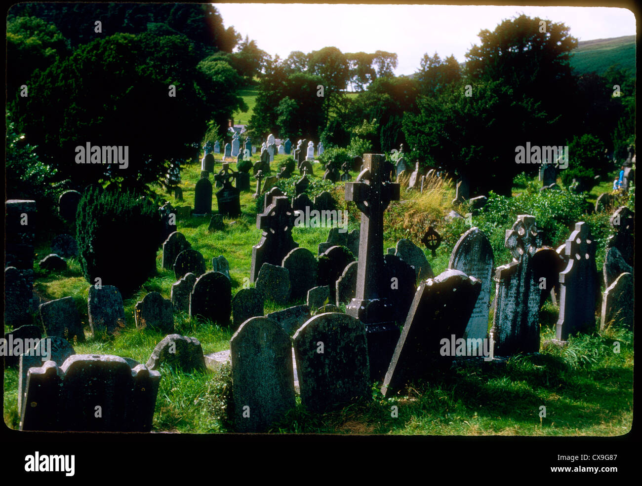 Clontivrin Grave YardArchaeological place · 2.2 mi
Other information
Photo: Credit not shown in the picture search · Rights wording not checked; contact us if this picture should be removed