What is recorded here
Indicated is a forgotten fairy fort on a Monaghan drumlin, reduced from a gothic-map fortress to a D-shaped hedge labyrinth. It never showed an entrance or ditch, only a wooden circle waiting for someone who believed the boundary was real. The land kept its shape while human memory slipped, suggesting the fort may have been built for visitors who do not need doors.
Situated on top of a drumlin. It is depicted as a circular wooded feature described in gothic lettering as a ‘fort’ on the 1834 edition of the OS 6-inch map and as a small D-shaped feature on the 1907 edition. This is now a small overgrown D-shaped area (dims c. 35m NE-SW; c. 30m NW-SE) defined by field banks and hedges. There is no visible fosse or identifiable entrance.
The above description is derived from the published 'Archaeological Inventory of County Monaghan' (Dublin: Stationery Office, 1986). In certain instances the entries have been revised and updated in the light of recent research.
Date of revision: 30 August 2017
The monument record does not grant public access. Check the route and ask the landowner before entering private land.
- What survives
- Recorded monument
Places near here
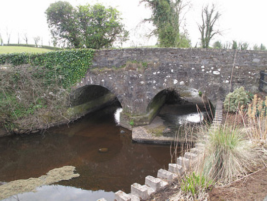 bridgebridge · 1003 yd
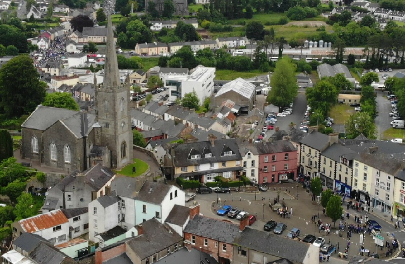 IndicatedFairy fort / earthen ringfort · 1046 yd
 Burial ground in KillattenBurial ground · 1174 yd
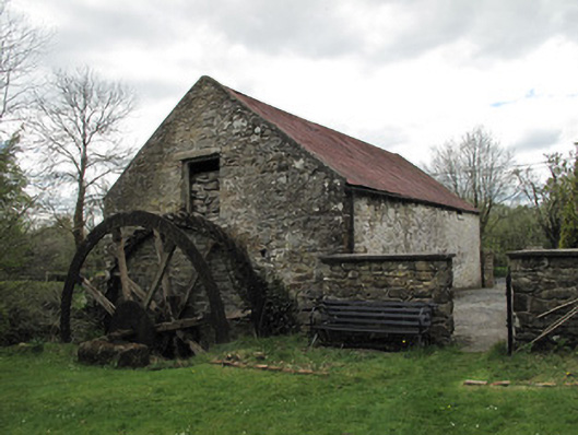 Drummans Millmill (water) · 1594 yd
 Sliabh Beagh Hotel and Tourism CentreVisitor information · 2.2 mi
 Western RedcedarWestern Redcedar · 2.5 mi
 Coast RedwoodCoast Redwood · 2.5 mi
 Rough HillMountain / peak · 2.9 mi
 Attack on Derryard checkpointterrorist attack · 3.4 mi
 EshmoreMountain / peak · 3.7 mi
 Banba GiantHeritage attraction · 5.3 mi
 Jaundice WellSpring · 5.3 mi