What is recorded here
Situated towards the top of the NE-facing slope of Oulart Hill. The cropmark of a large oval enclosure (dims c. 60m NE-SW; c. 45m NW-SE) defined by a fosse (Wth c. 2m) is visible only on Google Earth (14/07/2018). It was first reported by Simon Dowling.
See the attached enhanced view from Google Earth
Compiled by: Michael Moore
Date of upload; 6 March 2020
The monument record does not grant public access. Check the route and ask the landowner before entering private land.
- What survives
- Recorded monument
Places near here
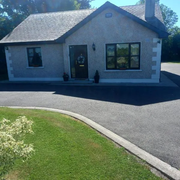 Enclosure in GlenrannyEnclosure · 140 yd
 IndicatedRoad, road/trackway · 880 yd
 Enclosure in KnockskemolinEnclosure · 1.1 mi
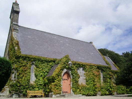 Saint John's Church (Kilnamanagh)church/chapel · 1.2 mi
 Oulart HillMountain / peak · 1.3 mi
 Fontainebleau service treeFontainebleau service tree · 1.5 mi
 The HarrowMemorial · 1.6 mi
 Kilthomas HillMemorial · 1.6 mi
 Father Murphy CentreHeritage attraction · 1.6 mi
 Battle of Oulart Hill signVisitor information · 1.7 mi
 Birds of PreyVisitor information · 1.9 mi
 The CoilWood · 3.0 mi