What is recorded here
In elevated exposed rocky pasture, c. 14m NNW of a stream and within a multiperiod field system (CL005-104001-). Noted by Tom Coffey in 1994 (SMR file). A fulacht fia comprising a small irregular stony mound (5-6m ESE-WNW; H 0.8-1m). Burnt stone and ash are visible where the mound has been disturbed by digging, and large stones are also visible within its fabric. There is no trace of a trough.
Compiled by: Mary Tunney and Eve Campbell
Date of upload: 8 October 2025
This remains an important historical record, but the official description says the monument is no longer visible or has been destroyed. The monument record does not grant public access. Check the route and ask the landowner before entering private land.
- What survives
- No visible remains or recorded as destroyed
Places near here
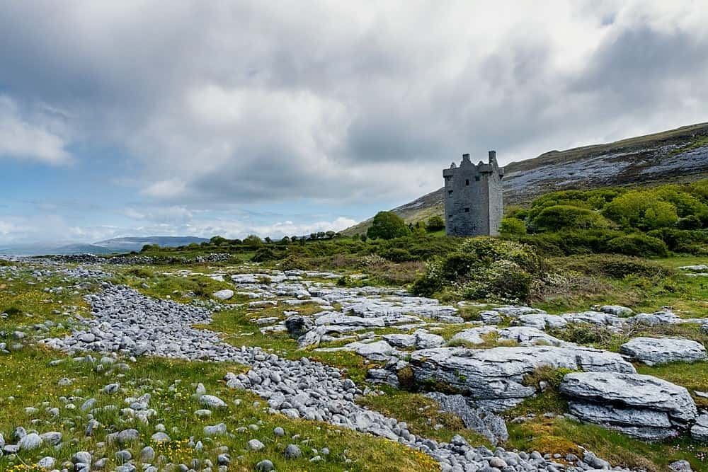 IndicatedEnclosure · 551 yd
 Gleninsheen CaherFairy fort / stone ringfort · 682 yd
 Gleninshing portal tombHeritage attraction · 1119 yd
 Gleninshing tombHeritage attraction · 1587 yd
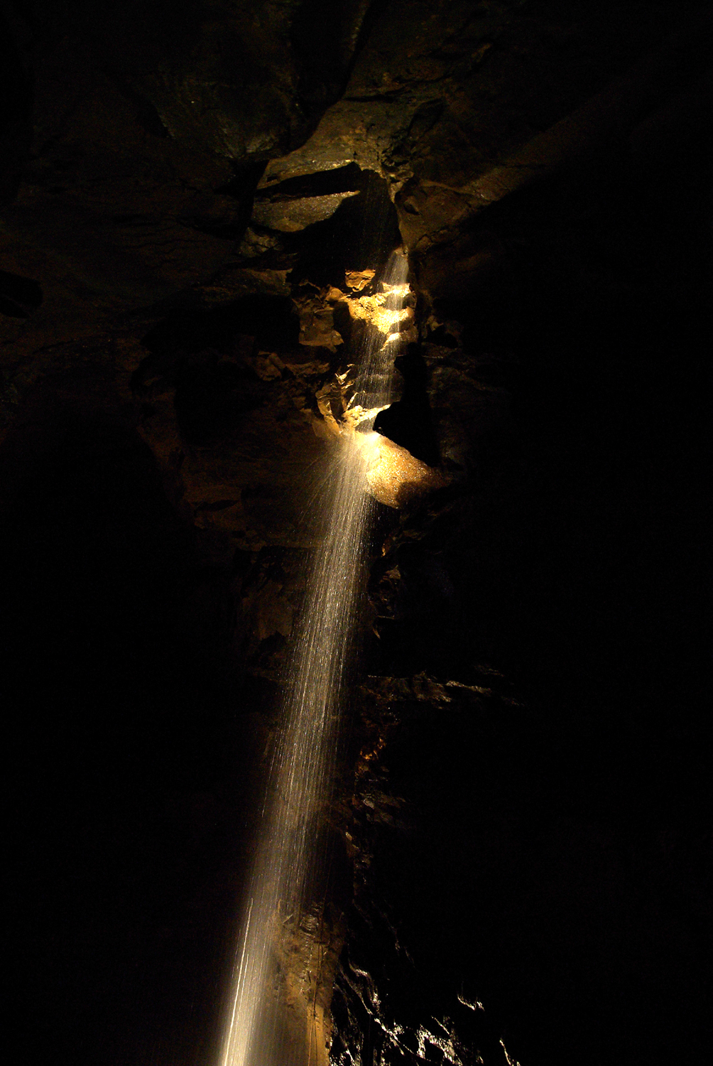 Aillwee CaveCave · 1.1 mi
 Aillwee Cave Visitor Centreheritage centre/interpretative centre · 1.2 mi
 Gleansleade Castle (in ruins)Castle, tower house · 1.3 mi
 PoulnabroneMemorial · 1.6 mi
 The Portal TombVisitor information · 1.7 mi
 Poulnabrone - Burren GeositeVisitor information · 1.8 mi
 Gregans Castlehouse · 1.8 mi
 Gregan CastleCastle · 2.0 mi