What is recorded here
According to the Kerry Field Club Notes of 1939 a stone slab stood three feet above ground on this site (the lands of Mr John Higgins of Glenderry). It was one foot six inches wide and eight inches in thickness. It was one foot above the ground and in the centre of this stone was a circular hole three inches in diameter and three inches deep. No surface trace of this stone can be found.
The above description is derived from C. Toal, ‘North Kerry Archaeological Survey’. Dingle. Brandon in association with FAS Training and Employment Authority (1995), no. 25. In certain instances the entries have been revised and updated in the light of recent research.
Date of upload: 1 August 2013
Likely dating to the Bronze Age, this standing stone may have served as a boundary marker, ritual site, or memorial. No specific folklore or detailed use is recorded for this site.
The monument record does not grant public access. Check the route and ask the landowner before entering private land.
- What survives
- Recorded monument
Places near here
 Mohaunagat FortArchaeological place · 133 yd
 Enclosure in GlenderryEnclosure · 558 yd
 Triskbeg MountainMountain / peak · 604 yd
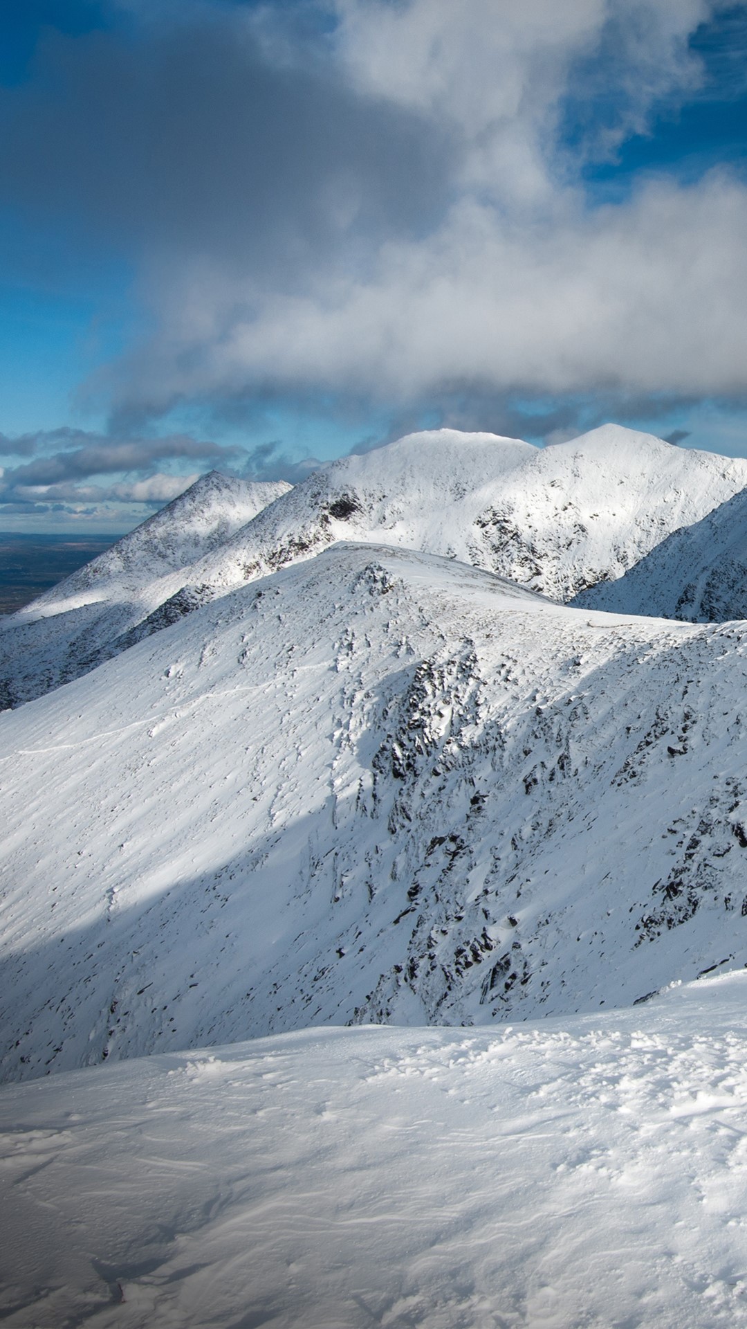 Triskmore MountainMountain / peak · 759 yd
 St Macadaws Church (in ruins)Church · 1234 yd
 Kerry Head Signal TowerRuins · 1.4 mi
 Our Lady's Holy WellSpring · 3.3 mi
 Site of Ballingarry CastleCastle, unclassified · 3.9 mi
 Castle Shannon (in ruins)Castle, unclassified · 4.7 mi
 Inshaboy PointHeadland · 5.2 mi
 Banna StrandBeach / strand · 5.5 mi
 Tralee BayBay · 6.2 mi