What is recorded here
Queen Mab rises as a solid rectangular block of quartz at the edge of a Glencullen golf course, refusing the slender, pointed shape common to most standing stones. Its flat top and broad frame suggest a deliberate choice rather than careless chopping, perhaps marking the grave of a local chief according to old tradition. The stone remains grounded on a gentle slope, watching golfers and cars pass while keeping its own dense, quiet weight against the sky.
Situated at the edges of a golf course, on a gentle NW facing slope, just S of the crossroads at Glencullen with extensive views to the N, good views E and W but restricted upslope to the S. This is a rectangular block of quartz, narrowing a little towards its base (H 1.85m; L 1m; Wth 0.7m) orientated NE-SW. It is unusually blocky in its shape as most monuments of this class are much thinner than they are long and regularly have a pointed or angled top rather than the flat top of this regular block. There are no packing stones but the standing stone is well grounded. Known locally as 'Queen Mab' but described in the School’s Manuscript Collection as marking the grave of a chief who lived in the district (Healy 1975, 1-19; Turner, 1983, 14).
This monument is a National Monument in State ownership (Nat. Mon. 276).
Compiled by: Geraldine Stout and Margaret Keane
Revised and updated on: 5 March 2018
Likely dating to the late Neolithic or Bronze Age, this standing stone may have functioned as a territorial marker or ceremonial feature. No specific folklore is recorded, though its positioning suggests it may have had ritual or symbolic significance in relation to the surrounding landscape.
The monument record does not grant public access. Check the route and ask the landowner before entering private land.
- What survives
- Recorded monument
Places near here
 Glencullen Standing StoneArchaeological place · 4 yd
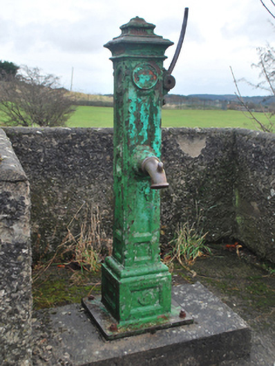 water pumpwater pump · 168 yd
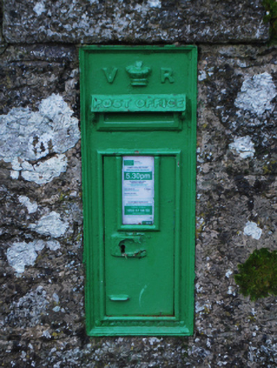 post boxpost box · 177 yd
 IndicatedEarthwork · 533 yd
 Ballybetagh WoodForest · 1.1 mi
 Ballyedmonduff ForestForest · 1.5 mi
 Prince William's SeatMountain / peak · 1.5 mi
 Barnaslingan HillMountain / peak · 1.6 mi
 Barnaslingan - Scalp Lookout TrailWalking route · 1.8 mi
 Barnaslingan - Pine loop trailWalking route · 1.8 mi
 Ballycorus castle Site ofCastle, tower house · 1.9 mi
 Calbeck CastleRuins · 2.7 mi