What is recorded here
Situated in enclosed land on the flat bottom of a drained peat basin at southern foot of Knocknaveen (known locally as ‘Glan Hill’). The fulacht fia is exposed in the northern face of a recently cut field drain, 19.5m WSW of MA085-016003-. It consists of a layer of stone (WSW– ENE 3.2m, T. 0.4m) and some charcoal, the top of which is c. 0.6m below the ground surface. The upper levels of the deposit are very much dried out and leached of colour, but the lower 0.2m is still waterlogged. The bulk of the stones are small (<100mm) and heat fractured. However, five large unburnt stones with a rounded profile (c. 0.15–0.25m) are also visible as well as a number of water-rolled pebbles and stones (30–100mm) and one or two lumps of quartzite. At least one of the larger stones is a conglomerate (greenish matrix with red inclusions). One carbonised hazelnut fragment was noted.
The above description is derived from: New Survey of Clare Island. Volume 5: Archaeology. Edited by Paul Gosling, Conleth Manning and John Waddell. (Royal Irish Academy, Dublin. 2007). In certain instances the entries have been revised and updated.
Date of upload: 29 November 2018
The monument record does not grant public access. Check the route and ask the landowner before entering private land.
- What survives
- Recorded monument
Places near here
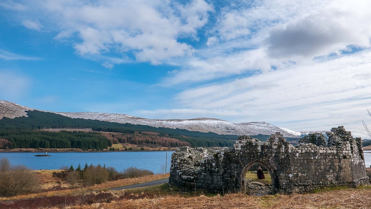 Doon CloakPromontory fort, coastal · 897 yd
 Megalithic tombArchaeological place · 1284 yd
 AbbeyReligious house, Cistercian monks · 1348 yd
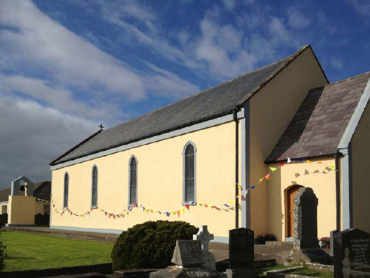 Catholic Church of the Sacred Heartchurch/chapel · 1377 yd
 Granuaile's CastleCastle · 1492 yd
 Clare IslandIsland · 1.4 mi
 ScalpatruceMountain / peak · 1.5 mi
 KnockmoreMountain / peak · 2.2 mi
 Turloughbeg StrandBeach / strand · 3.8 mi
 Carrownisky BeachBeach / strand · 4.4 mi
 Acaill BheagIsland · 4.8 mi
 Kildavnet CastleCastle, tower house · 5.9 mi