What is recorded here
Glebe holds a standing stone from the uncertain prehistoric dark. No human hand shaped it for ceremony or boundary, yet it still rises above the soil like a forgotten sentence. The stone waits for someone to read what it remembers.
The official Northern Ireland record identifies this as STANDING STONE. Recorded period: UNCERTAIN; PREHISTORIC. The official map point was placed at the centre of the recorded archaeological site from the source map reference.
The monument record does not grant public access. Check the route and ask the landowner before entering private land.
- What survives
- Recorded monument
Places near here
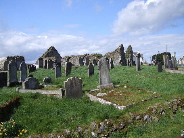 The ruins of the original Agherton Church Of Ireland ChurchRuins · 144 yd
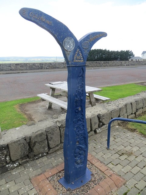 Millennium MilepostVisitor information · 427 yd
 CASTLE & SETTLEMENT SITE (unlocated) in GlebeCASTLE & SETTLEMENT SITE (unlocated) · 571 yd
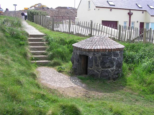 HOLY WELL: TUBBER PATRICK in Crossreagh EastHOLY WELL: TUBBER PATRICK · 1205 yd
 TRIANGULAR ENCLOSURE & TWO CAIRNS: CRAIG-AN-ARIFF FORT (destroyed) in CarnaneeTRIANGULAR ENCLOSURE & TWO CAIRNS: CRAIG-AN-ARIFF FORT (destroyed) · 1245 yd
.jpg?width=1280) Town HallLibrary · 1.1 mi
Town HallLibrary · 1.1 mi Harbour HillViewpoint · 1.4 mi
 Portstewart StrandBeach / strand · 1.5 mi
 Castlerock BeachBeach / strand · 2.9 mi
 Hezlett HouseHeritage attraction · 3.3 mi
 CHURCH & GRAVEYARD: BALLYWILLIN in GlebeCHURCH & GRAVEYARD: BALLYWILLIN · 3.3 mi
 CASTLE (unlocated; O.S. memoir site) CASTLE AN TEENIE in PortrushCASTLE (unlocated; O.S. memoir site) CASTLE AN TEENIE · 3.3 mi