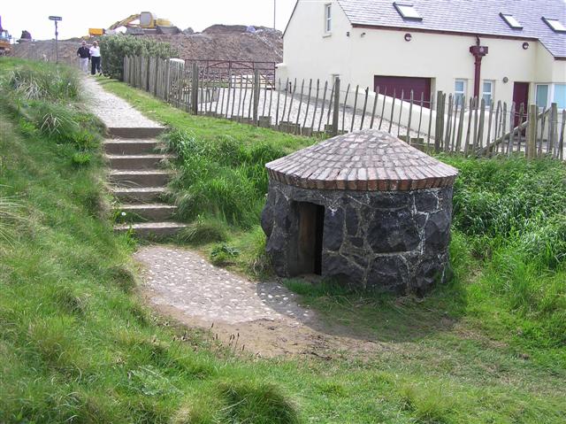
What is recorded here
Holy wells appear where people believe water carries mercy. They drank, washed wounds and left coins behind. Patrick may have lived locally or the well may have taken his name later. Either way, the water still belongs to the village memory.
The official Northern Ireland record identifies this as HOLY WELL: TUBBER PATRICK. Recorded period: UNCERTAIN. The official map point was placed at the centre of the recorded archaeological site from the source map reference.
Linked to Saint Patrick, the well is traditionally associated with healing and pilgrimage, with devotees seeking cures for various ailments, particularly skin conditions. The name "Tubber Patrick" reflects its early Christian heritage and the widespread veneration of Saint Patrick in Ireland.
The monument record does not grant public access. Check the route and ask the landowner before entering private land.
- What survives
- Recorded monument
Places near here
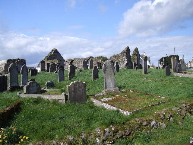 The ruins of the original Agherton Church Of Ireland ChurchRuins · 1194 yd
 CASTLE & SETTLEMENT SITE (unlocated) in GlebeCASTLE & SETTLEMENT SITE (unlocated) · 1240 yd
.jpg?width=1280) Town HallLibrary · 1496 yd
Town HallLibrary · 1496 yd Portstewart StrandBeach / strand · 1522 yd
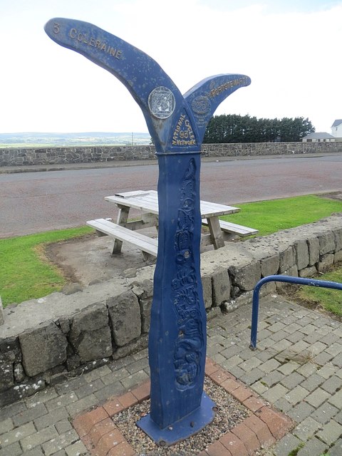 Millennium MilepostVisitor information · 1620 yd
 Harbour HillViewpoint · 1.1 mi
 TRIANGULAR ENCLOSURE & TWO CAIRNS: CRAIG-AN-ARIFF FORT (destroyed) in CarnaneeTRIANGULAR ENCLOSURE & TWO CAIRNS: CRAIG-AN-ARIFF FORT (destroyed) · 1.2 mi
 ENCLOSURE (O.S. memoir site, unlocated) in CarnalbanaghENCLOSURE (O.S. memoir site, unlocated) · 1.2 mi
 Castlerock BeachBeach / strand · 2.2 mi
 Hezlett HouseHeritage attraction · 2.7 mi
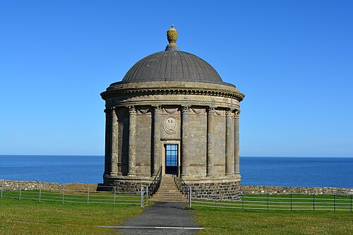 Mussenden TempleHeritage attraction · 3.3 mi
 Earl Bishop's Tree Trail, DownhillWalking route · 3.4 mi
Other information
Photo: Kenneth Allen · Creative Commons Attribution-ShareAlike 2.0