
What is recorded here
Canal harbour/terminus, built 1817, serving the Royal Canal. Dressed limestone walls dressed limestone kerbing. Cast-iron bollards at intervals around edges. Irregular regular symmetrical plan on northeast- southwest axis, with canal bridge (13307013) at southwest end, lock at north corner (13303017), and dry dock (13303015) at northeast end. Canal to the south end and junction with the Camlin River to the north.
Richmond Harbour is the focal point of the town of Cloondara, and is the terminus of the Royal Canal. Indeed, the town grew up around the canal and the harbour. Completed in 1817, it is still in use today for the mooring of boats from the Shannon via the Camlin River. It is made of well cut and laid limestone, and its curving edges create a pleasingly symmetrical form. The scale of the harbour provides an historical insight into grandiose ambitions of the Royal Canal Company, and later the Directors of Inland Navigation at the time of construction. It was laid out to designs by John Killaly (1766 – 1832), the engineer responsible for the construction of the Royal Canal between Coolnahay to Cloondara. Framed by the dry dock (13303015), lock (13303017) and lock keeper's house (13303016) to the north, Richmond Bridge (13303013) to the south, and the former canal offices and manager's house (13303019) to the east, it forms part of a notable coherent scheme.
This does not grant access. Most recorded buildings are privately owned; view them only from public ground unless the owner allows entry.
Places near here
 officeoffice · 40 yd
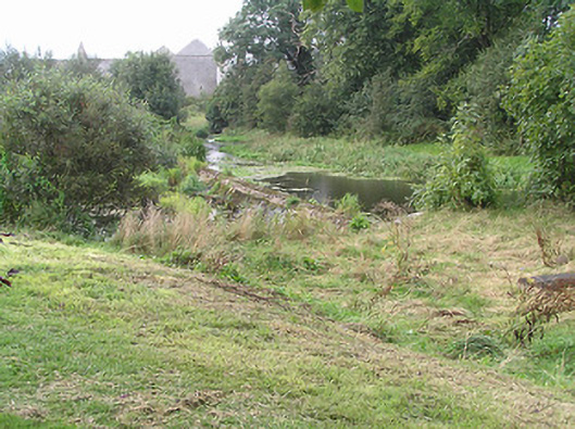 weirweir · 55 yd
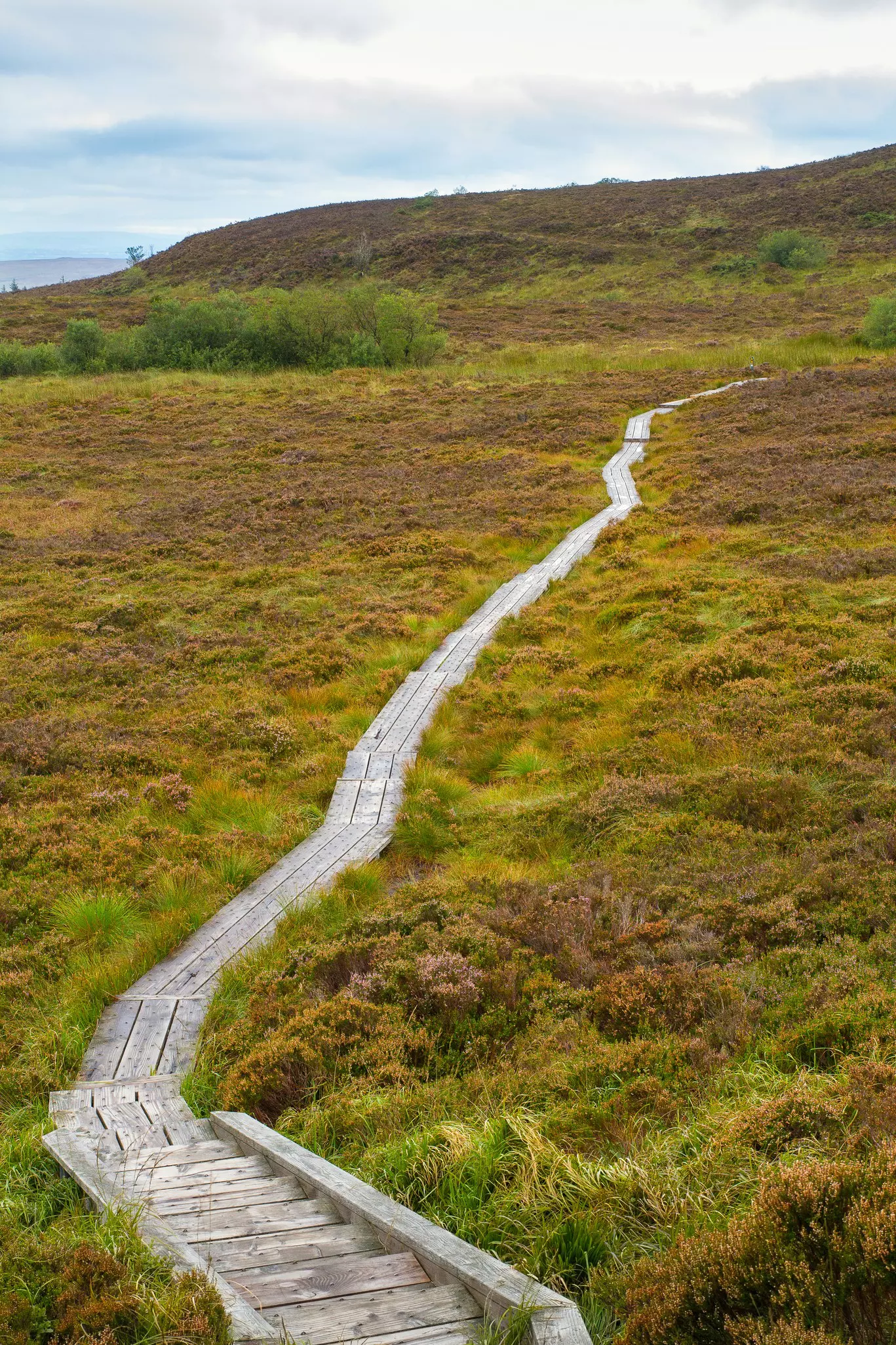 StructureStructure, peatland · 1.3 mi
 PlatformPlatform, peatland · 2.1 mi
 Bawn in AbbeycartronBawn · 4.2 mi
 First World War MemorialMemorial · 4.3 mi
 Saint Mel's CathedralCathedral · 4.4 mi
 Graveyard in Curry (ardagh By., Coolamber Ed)Graveyard · 4.5 mi
 Commons North WalkVisitor information · 5.5 mi
 Wild birdsVisitor information · 5.8 mi
 Ballyclare IslandIslet · 6.2 mi
 White Sand WoodWood · 6.3 mi
Other information
Photo: JP · CC BY-SA 2.0