What is recorded here
The graveyard in Glebe (glenahiry By.) is in County Waterford, Ireland. A subrectangular area measuring about 55 metres east to west and 50 metres north to south is defined by earth and stone banks. The parish church of Kilronan stands against its north perimeter, while Kilronan Well lies about 70 metres to the west.
Situated on a slight N-facing slope on the floor of an E-W valley at the N foot of Bawnfune Hill. The parish church of Kilronan (WA001-024001-) is against the N perimeter of a subrectangular graveyard (max. dims. c. 55m E-W; c. 50m N-S) defined by earth and stone banks. Kilronan Well (WA01-024003-) is c. 70m to the W. (Power 1938a, 58)
Power, Rev. P. (1938a) Some old churches of the Decies, JESAI 68, 55-68.
Compiled by: Michael Moore
Date of upload: 26 August 2010
The monument record does not grant public access. Check the route and ask the landowner before entering private land.
- What survives
- Recorded monument
Places near here
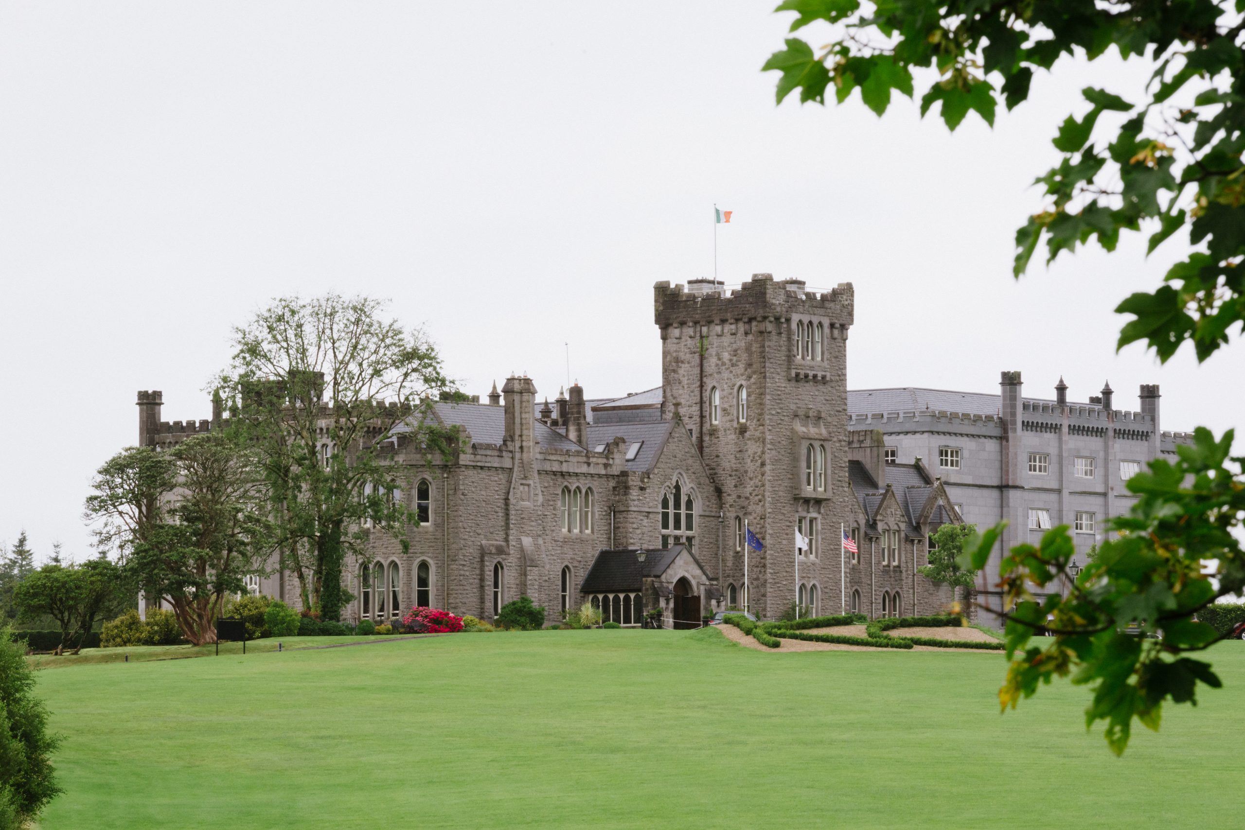 Kilronan Churdh (in ruins)Church · 28 yd
 Man-made underground passage in Bawnfune (glenahiry By.)Man-made underground passage · 1197 yd
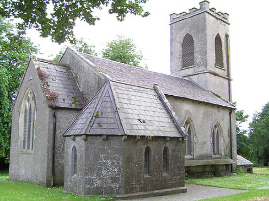 Tullaghmelan Churchchurch/chapel · 1618 yd
 CairnCairn, unclassified · 1.0 mi
 Castle, Kilmanahan CastleCastle, tower house · 1.0 mi
 Hybrid Black PoplarHybrid Black Poplar · 1.3 mi
 Deodar CedarDeodar Cedar · 1.5 mi
 European long distance path E8 - part IrelandWalking route · 1.6 mi
 Kilmacomma HillMountain / peak · 2.2 mi
 Carey's CastleCastle · 2.5 mi
 Scrouthea HillMountain / peak · 3.6 mi
 Grubb's IslandIslet · 3.9 mi