What is recorded here
Fairy fort / ringfort in Glebe (corkaree By., Ballinalack Ed) is a fairy fort or ringfort in Glebe (corkaree By., Ballinalack Ed), County Westmeath, Ireland. The 1837 Ordnance Survey map depicts the site as a large oval enclosure annotated as a fort, while a 1972 description recorded it as a levelled monument. All that remains is a sub-circular area indicated by a slightly raised platform with a diameter of approximately 44 meters, which is defined by a dark band of vegetation.
Situated on NE facing slope of low rise of ground on relatively low lying wet grassland. A stream which marks the townland boundary with Cullenagh is 70m to W. Possible ringfort (WM011-009----) 155m to NW. Depicted on the 1837 OS Fair Plan map as a large oval shaped enclosure and annotated as ‘fort’. Described in 1972 as a monument that had been levelled. All that remains is a sub-circular shaped area indicated by a slightly raised platform (approx. diam. 44m ) defined by a dark band of vegetation. Vague traces of cultivation ridges are visible running NNE-SSW across the interior of the levelled monument. A drain running E-W and a field boundary intersects the perimeter of the site at S. A second smaller area (approx. diam. 15m) also defined by a dark band of vegetation adjoins this monument to the NE. Other crop marks surrounding the site may be earthworks relating to post-1700 drainage. Outline of levelled monument clearly visible on Digital Globe aerial photograph taken November 2011.
Compiled by: Frank Coyne and Caimin O'Brien
Date of upload: 13 June 2017
The monument record does not grant public access. Check the route and ask the landowner before entering private land.
- What survives
- Recorded monument
Places near here
 CastleCastle, unclassified · 751 yd
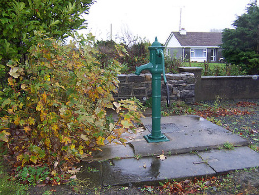 water pumpwater pump · 931 yd
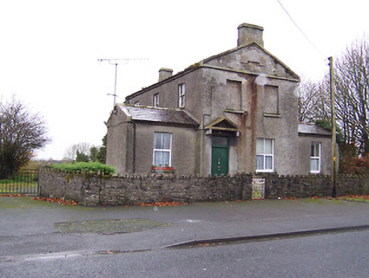 RIC barracksRIC barracks · 958 yd
 Crannog in Cullenhugh,lough IronCrannog · 1157 yd
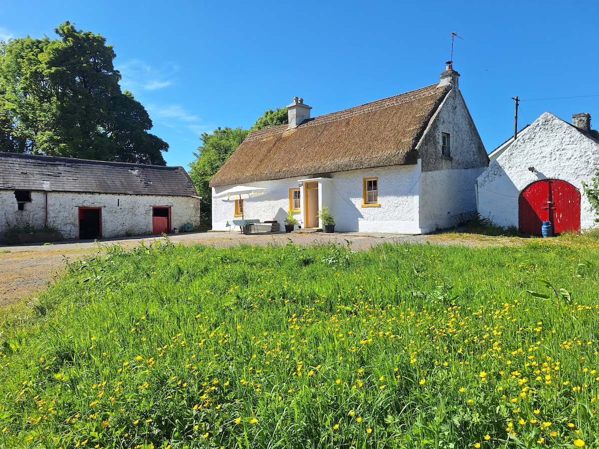 OutlinedCastle, unclassified · 1364 yd
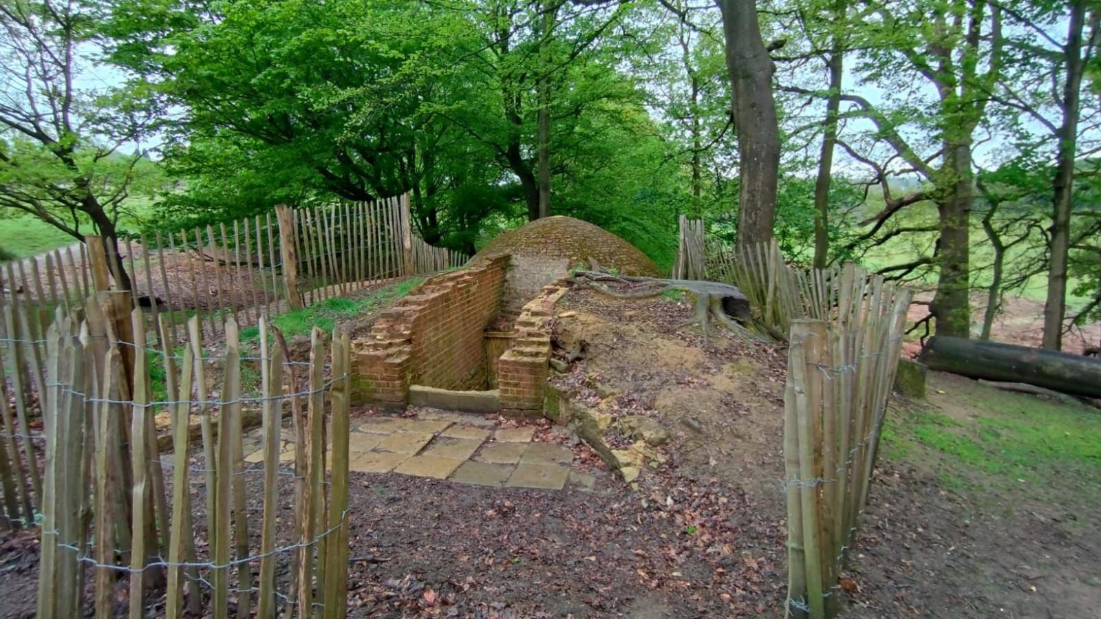 Icehouse in Baronstown DemesneIcehouse · 1.4 mi
 Baronstown ForestWood · 2.2 mi
 Horse-chestnutHorse-chestnut · 2.2 mi
 Carrickphilbin IslandIslet · 4.6 mi
 Srudarra IslandIslet · 5.3 mi
 Rock of CurryCliff · 9.6 mi
 Mullaghmeen ForestPicnic place · 12 mi