What is recorded here
Indicated is a circular earth and stone ring in County Offaly, likely an old fort later decorated as a 19th-century tree-ring. It stands on a west-facing slope, twenty-seven and a half metres across, with a broad bank and shallow outer ditch but no visible entrance. The shape may have changed from human defence to ornamental garden, yet the unmarked circle still holds the smell of rain, grass and forgotten hands.
This is the site of a tree-ring of 19th century date, not depicted on first two editions of the OS 6-inch maps and indicated as a circular enclosure on the current edition of the 6-inch map. May have been a ringfort that was landscaped as a tree-ring in the 19th century. Situated in pasture on W facing slope of rising ground in upland area. Site consists of a circular area (diam. 27.5m) enclosed by a well preserved earth and stone bank (Wth 3m; H 1m) and external fosse (Wth 3.5m; D 0.6m) with no entrance feature visible.
The above description is derived from the published 'Archaeological Inventory of County Offaly' (Dublin: Stationery Office, 1997). In certain instances the entries have been revised and updated in the light of recent research.
Date of upload: 23 May 2011
The monument record does not grant public access. Check the route and ask the landowner before entering private land.
- What survives
- Recorded monument
Places near here
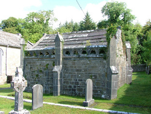 Borrisnafarney Churchmausoleum · 794 yd
 Megalithic structure in AghnameadleMegalithic structure · 1005 yd
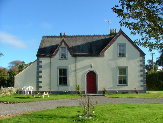 Barnagrotty Housefarm house · 1141 yd
 IndicatedFairy fort / earthen ringfort · 1181 yd
 CastleCastle, motte · 1683 yd
 Aghnameadle CastleCastle · 1.0 mi
 Kyleroe WoodWood · 1.1 mi
 BenduffMountain / peak · 2.5 mi
 Borrisnoe MountainMountain / peak · 3.0 mi
 Longford WoodForest · 5.1 mi
 Thomas MacDonagh Heritage CentreMuseum · 6.1 mi
 MacDonagh HouseMemorial · 6.1 mi