
What is recorded here
On a gentle N-facing slope in undulating terrain at the base of Cullahill Mountain range, in grass. There are extensive views across the plain from W to N. Indicated on the 1st (1839) ed. OS 6-inch map as a roughly circular enclosure (diam. c. 35-40m), probably a ringfort, but not indicated on the 1900 revision suggesting it was levelled between 1839 and 1900. The enclosure (diam. 32m NE-SW; c. 26m NW-SE) is still faintly visible, the bank appearing as a very subtle rise, the SE quadrant being the best preserved. The interior is slightly concave.
Compiled by: Jean Farrelly
Date of upload: 28 August 2018
The monument record does not grant public access. Check the route and ask the landowner before entering private land.
- What survives
- Recorded monument
Places near here
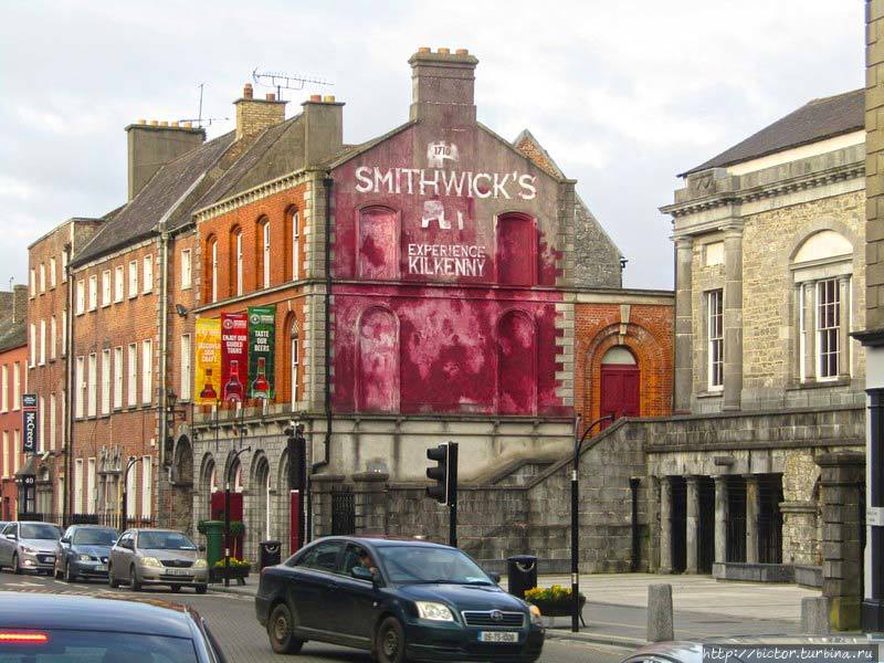 Glashare Ringfort (rath)Archaeological place · 258 yd
 Glashare CastleCastle, tower house · 414 yd
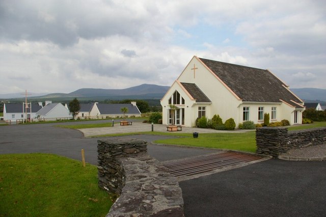 Church in GlashareChurch · 423 yd
 Street fieldArchaeological place · 520 yd
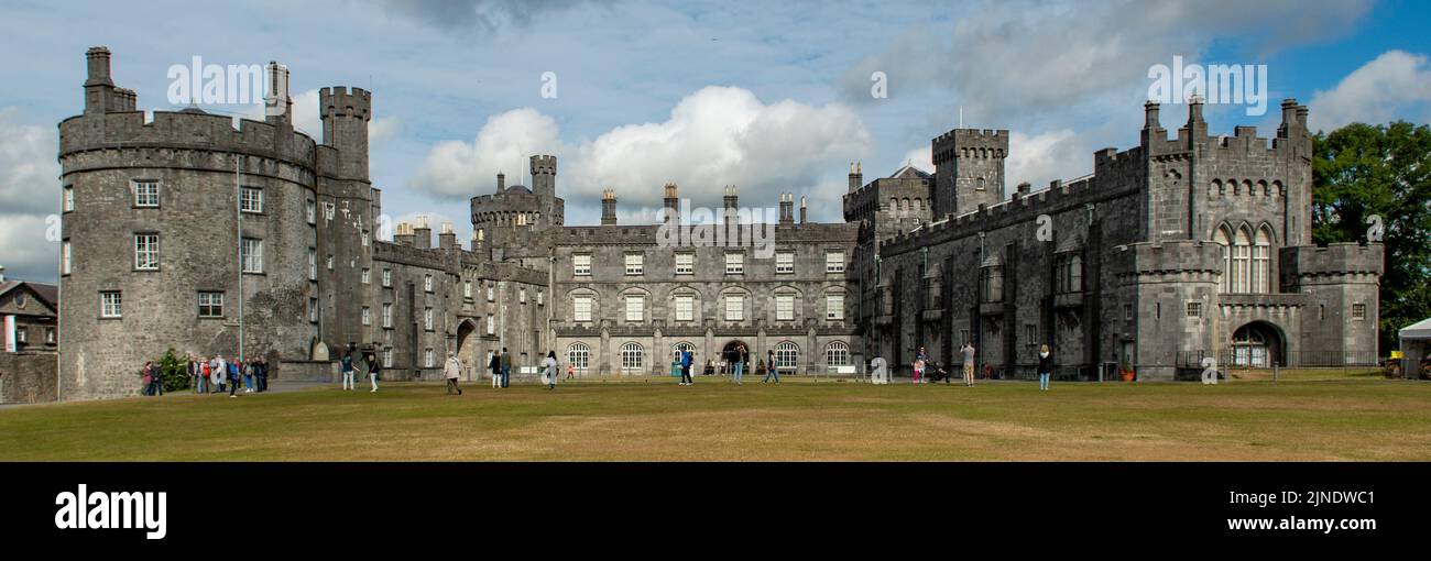 Enclosure in CoolnacruttaEnclosure · 1303 yd
 Abbey (in ruins)Religious house, unclassified · 1.2 mi
 CastleCastle, unclassified · 1.5 mi
 Cnoc SeanrathaMemorial · 3.2 mi
 DelaneyMemorial · 3.3 mi
 Clomantagh HillMountain / peak · 3.6 mi
 Big WoodWood · 4.4 mi
 Anker's IslandIsland · 6.8 mi
Other information
Photo: Credit not shown in the picture search · Rights wording not checked; contact us if this picture should be removed