What is recorded here
Glanshearoon held a polygonal earthwork large enough to draw lines on survey maps before humans levelled it around 1935. It vanished so completely that modern satellites show only ordinary ground, yet the old maps preserve its shape and the field boundary cutting through it. The land keeps no warning about what was lost; it simply refuses to remember the mark that once stood there.
Levelled monument described in 1985 by the Castleisland District Archaeological Survey as site of a levelled earthwork that was levelled c. 1935 which is visible as a slight rise of ground. Depicted as a polygonal shaped earthwork transected at E by a field boundary running N-S on Cassini ed. OSi 6-inch map. Not indicated on 1841 ed. OSi 6-inch map. No surface remains visible on Digital Globe orthoimage taken between 2011-13.
See attached Google Earth orthoimage taken 03/04/2021
Compiled by: Caimin O'Brien
Date of upload: 25 April 2022
The monument record does not grant public access. Check the route and ask the landowner before entering private land.
- What survives
- Recorded monument
Places near here
 Enclosure in GlanshearoonEnclosure · 213 yd
 Church in GlanshearoonChurch · 218 yd
 Burnt spread in GlanshearoonBurnt spread · 1012 yd
 Crag CaveCave · 1151 yd
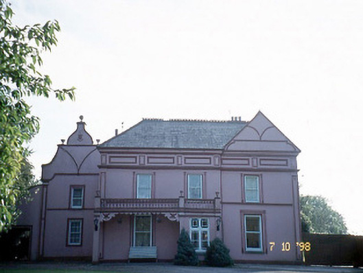 Castleview Housecharter school · 1257 yd
 Castle (in ruins)Castle, Anglo-Norman masonry castle · 1752 yd
 Ballymacadam Castle (in ruins)Castle, tower house · 1.6 mi
 SlievebrickanMountain / peak · 4.7 mi
 KnockateeMountain / peak · 4.9 mi
 PouldermotCave · 6.7 mi
 Common AlderCommon Alder · 7.8 mi
 Monument WoodWood · 8.2 mi