What is recorded here
Forty feet of packed earth rose above the glen, a fortress for the fairies who danced there before humans came. The ring stood proud on the hillside, its walls unbroken, its gate facing the sea where fairy ships landed at moonrise. Then men arrived with hammers and hunger, tearing the earth open to build their own roads and walls. They took everything the fort contained, scattering fairy fire across the sky like sparks from a broken lantern. The ring vanished not through age but through taking, its shape erased by human hands that never asked permission. What remains is a hollow place where the ground still trembles at midnight, shaking free of the weight of forgotten things.
On a NE-facing slope on low-lying ground to the W of the hospital associated with a former workhouse. Named 'Fort' on the 1837 edition of the OS 6-inch map and depicted as a roughly oval enclosure on it and the 1914 edition The monument has been levelled and is not visible at ground level.
Compiled by: Patrick F. O'Donovan
Date of upload: 21 February 2012
The monument record does not grant public access. Check the route and ask the landowner before entering private land.
- What survives
- Recorded monument
Places near here
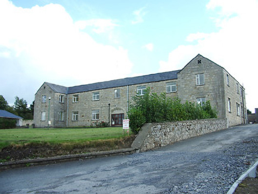 Longford Regional Hospitalhospital/infirmary · 41 yd
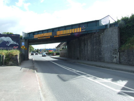 bridgebridge · 439 yd
 BarrowBarrow, unclassified · 458 yd
 Saint Mel's CathedralCathedral · 896 yd
 First World War MemorialMemorial · 958 yd
 Grave Yd.Graveyard · 1395 yd
 Bawn in AbbeycartronBawn · 1480 yd
 Graveyard in Curry (ardagh By., Coolamber Ed)Graveyard · 2.8 mi
 CastleCastle, Anglo-Norman masonry castle · 2.8 mi
 Commons North WalkVisitor information · 9.1 mi
 Wild birdsVisitor information · 9.3 mi
 White Sand WoodWood · 9.6 mi