What is recorded here
On relatively steep NE facing slope, a concentration of burnt stones and charcoal stained soil (L 18m; Wth 6m) was noted here after ploughing in 2000 (SMR file). Second possible fulacht fia (WI008-042001-) noted 50m to W.
Compiled by: Claire Breen
Date of upload: 05 February 2013
The monument record does not grant public access. Check the route and ask the landowner before entering private land.
- What survives
- Recorded monument
Places near here
 Hollybrookcountry house · 1204 yd
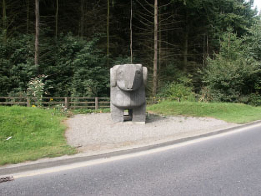 The Ram""monument · 1225 yd
 Kilruddery House and GardensHeritage attraction · 1379 yd
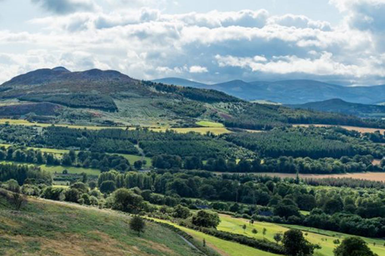 Belmont WayWalking route · 1535 yd
 Little Sugar LoafMountain / peak · 1536 yd
 Cross in Kilbride (rathdown By.)Cross · 1616 yd
 European YewEuropean Yew · 1702 yd
 CrossCross, High cross · 1730 yd
 Johnny Fox's MemorialMemorial · 1748 yd
 Monterey CypressMonterey Cypress · 1.0 mi
 Lover's LeapNamed rock · 1.5 mi
 Bray HeadMountain / peak · 1.6 mi