What is recorded here
Fairy fort in Gilcagh, County Cork: a circular earthen ringfort about thirty metres across, mapped in 1842 and altered on later maps, with a preserved south-west bank and north-east opening. It stood on a farm slope until field fence clearance around 1964 levelled much of it; a rise still marks the site. People may have lived, kept animals, or simply drawn a boundary there. The fairies, according to local naming, never agreed about the shape.
In tillage, on NW-facing slope. Depicted as hachured circular enclosure (diam. c. 30m) on 1842 OS 6-inch map; on 1904 and 1937 OS 6-inch maps enclosure open at N side and E and W banks extended N beyond site for c. 10m to join E-W field boundary. According to Hartnett (1939, 283), bank well preserved to S and W (H c. 5ft), low bank to E with entrance to SE. Levelled during field fence clearance c. 1964 (OPW); rise survives in area of site.
The above description is derived from the published 'Archaeological Inventory of County Cork. Volume 3: Mid Cork' (Dublin: Stationery Office, 1997). In certain instances the entries have been revised and updated in the light of recent research.
Date of upload/revision: 14 January 2009
The monument record does not grant public access. Check the route and ask the landowner before entering private land.
- What survives
- Recorded monument
Places near here
 St Joseph's Roman Catholic Churchchurch/chapel · 887 yd
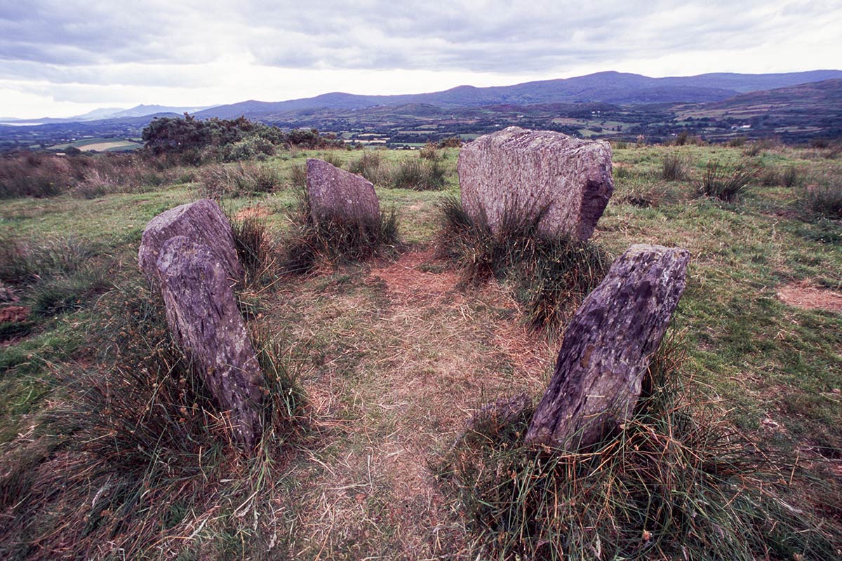 BarrowBarrow, ring-barrow · 1149 yd
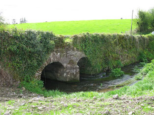 Courtbrack Bridgebridge · 1471 yd
 Site of Grave YardBurial ground · 1574 yd
 Ballyvodane Castle (in Ruins)Castle, unclassified · 1.6 mi
 Ballyanly Inniscarra Slí na SláinteWalking route · 2.4 mi
 Garrycloyne Castle (in Ruins)Castle, tower house · 3.2 mi
 Pakie HoganMemorial · 3.5 mi
 Pairc Ath Na hEornaMemorial · 3.6 mi
 BatsVisitor information · 3.9 mi
 Lion RockNamed rock · 4.0 mi
 Waterloo Loop WalkWalking route · 4.1 mi