What is recorded here
Fairy fort / earthen ringfort in Geehanstown stands on a hillock in County Meath, Ireland. Its earthen banks and causeway mark a boundary between human memory and local wonder. People may have lived, hidden or prayed there before the name changed. The fort still holds that much more than it reveals.
Situated on a hillock in an undulating landscape with a NW-SE canalised stream c. 60m to the SW. This is a subcircular grass-covered area (dims 40.5m NE-SW; 28m NNW-SSE) defined by an earthen bank with some bushes (Wth of base 8.5-9m; int. H c. 0.9m; ext. H 1.9-2.4m) separated by a rounded fosse (Wth of top 7.5-8; ext. D 0.7-0.9m) from an outer bank (Wth of base 3.3m at NE to 7m at SW; ext. H 0.3m at NW to 0.9m at SW), which is missing ESE-S. There is an entrance through the inner bank (Wth of base 2.5m) and a causeway (Wth of top 2.7m; H 0.5m) at SSE (ext. diam. 62m NE-SW).
The above description is derived from the published 'Archaeological Inventory of County Meath' (Dublin: Stationery Office, 1987). In certain instances the entries have been revised and updated in the light of recent research.
Compiled by: Michael Moore
Date of revision: 11 January 2019
Amended: 23 March 2023
The monument record does not grant public access. Check the route and ask the landowner before entering private land.
- What survives
- Recorded monument
Places near here
 Corn MillMill, unclassified · 451 yd
 Bawn in ArcherstownBawn · 944 yd
 Archerstown Church in ruinsChapel · 1041 yd
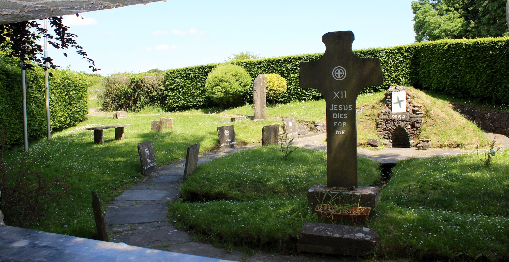 Ecclesiastical enclosure in ArcherstownEcclesiastical enclosure · 1044 yd
 Not inidicatedFairy fort / earthen ringfort · 1522 yd
 European ashEuropean ash · 1.7 mi
 MoatCastle, motte and bailey · 1.8 mi
 Bradley's WoodWood · 1.9 mi
 Kells HillMountain / peak · 2.2 mi
 The Sloe HillMountain / peak · 2.4 mi
 Zip WireHeritage attraction · 5.4 mi
 LoughcrewMegalithic tomb cemetery · 5.8 mi