What is recorded here
In pasture. A roughly circular enclosure (diam. c. 45m) indicated on the 1st (1839) ed. OS 6-inch map and on the 1900 revision. A field boundary runs NW-SE along the NE edge and another runs immediately outside the SE sector. It is evident from satellite imagery that the monument and the neighbouring field boundaries have been levelled.
Compiled by: Jean Farrelly
Date of upload: 24 June 2020
The monument record does not grant public access. Check the route and ask the landowner before entering private land.
- What survives
- Recorded monument
Places near here
 Enclosure in Gaulstown UpperEnclosure · 339 yd
 Gaulstown CastleCastle, unclassified · 1041 yd
 Enclosure in WallstownEnclosure · 1159 yd
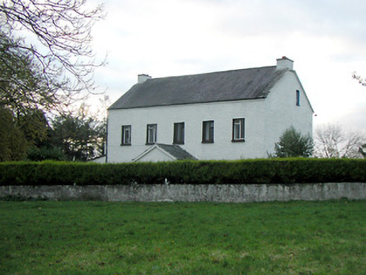 Mountgale Housefarm house · 1.1 mi
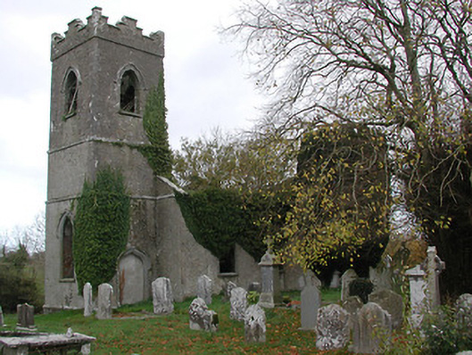 Ballinamara Churchchurch/chapel · 1.2 mi
 CastleCastle, ringwork · 1.9 mi
 Brown's WoodWood · 3.1 mi
 The CopseWood · 3.2 mi
 Freshford LoopWalking route · 3.6 mi
 Emma Jane Browne-ClaytonMemorial · 4.0 mi
 Ballykeeffe Mass RockNamed rock · 4.0 mi
 Graveyard in ThreecastlesGraveyard · 4.2 mi