What is recorded here
Fairy fort / earthen ringfort in Gartlandstown is a fairy fort or earthen ringfort in Gartlandstown, County Westmeath, Ireland. The 1837 Ordnance Survey map depicted the site as a small roughly circular enclosure planted with trees, while a 1972 account described the monument as almost completely levelled. Only poorly preserved remains of a raised sub-circular area, measuring approximately 27 metres north-south and 29 metres east-west, mark the location on the southwest-facing slope of a hillock. A 2011 aerial photograph recorded no surface remains of the monument.
Situated on SW facing slope of hillock in undulating grassland with good views of Lough Derravaragh to NW. Gartlandstown House lies 390m to N. Ringfort (WM012-010----) 400m to SW, earthwork (WM012-013----) 340m to NE. Depicted on the 1837 OS Fair Plan map as a small roughly circular-shaped enclosure planted with trees, annotated as a ‘fort’. Described in 1972 as a monument that has been almost completely levelled. All that survived are the poorly preserved remains of a raised sub-circular shaped area (approx. diam. 27m N-S; 29m E-W) which marks the site of the levelled 'fort'. No surface remains visible of monument on Digital Globe aerial photograph taken November 2011.
Compiled by: Frank Coyne and Caimin O'Brien
Date of upload: 15 November 2017
The monument record does not grant public access. Check the route and ask the landowner before entering private land.
- What survives
- Recorded monument
Places near here
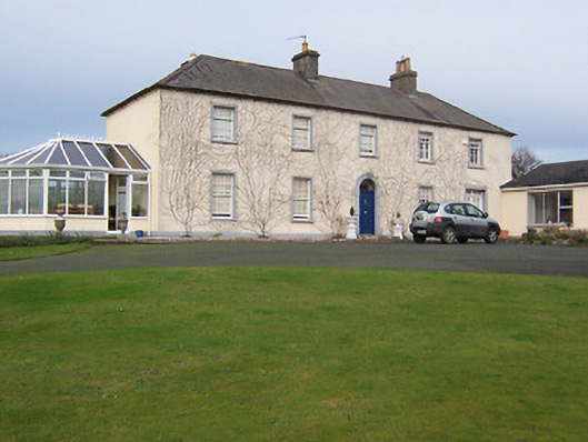 Gartlandstown Studhouse · 652 yd
 IndicatedQuarry · 1329 yd
 Taghmon CastleCastle, tower house · 1421 yd
 Concentric enclosure in FroghanstownConcentric enclosure · 1.0 mi
 Hut site in FroghanstownHut site · 1.1 mi
 KnockeyonMountain / peak · 1.1 mi
 Mortimer's CastleArchaeological place · 3.6 mi
 Long PlantingForest · 3.7 mi
 Scragh Bog Nature ReserveNature reserve · 4.1 mi
 Bridge Memorial (Kenna)Memorial · 4.9 mi
 Church IslandIsland · 4.9 mi
 South East GateHeritage attraction · 5.1 mi