
What is recorded here
Situated on a low rise of ground with good views from N-E-SE. Chapel (WM007-097----) 200m to N. Depicted on the 1837 ed. OS 6-inch map as an irregular-shaped earthwork or what would appears to be the remains of a quarry hole associated with a gravel pit depicted at S edge of depression. Non-antiquity, remains of a quarry hole associated with gravel extraction of post-1700 date. No surface remains visible of feature depicted on the 1837 ed. OS 6-inch map.
Compiled by: Frank Coyne and Caimin O'Brien
Date of upload: 16 April 2017
The monument record does not grant public access. Check the route and ask the landowner before entering private land.
- What survives
- Recorded monument
Places near here
 Chapel in ruinsChapel · 283 yd
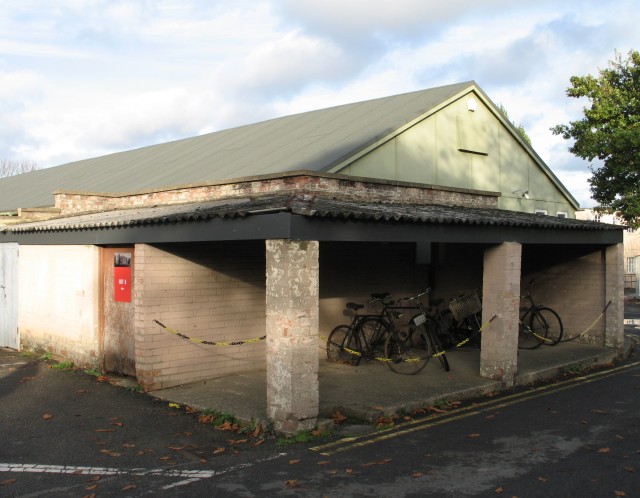 Hut site in FroghanstownHut site · 590 yd
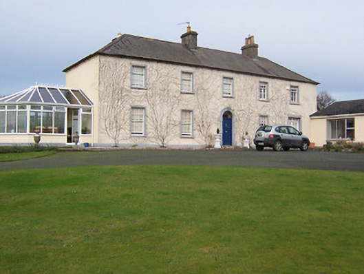 Gartlandstown Studhouse · 801 yd
 Concentric enclosure in FroghanstownConcentric enclosure · 1001 yd
 KnockeyonMountain / peak · 1164 yd
 Taghmon CastleCastle, tower house · 1.6 mi
 Mortimer's CastleArchaeological place · 3.0 mi
 Long PlantingForest · 4.3 mi
 Scragh Bog Nature ReserveNature reserve · 4.4 mi
 South East GateHeritage attraction · 4.5 mi
 St Feichin's MillHeritage attraction · 4.6 mi
 Bridge Memorial (Kenna)Memorial · 4.6 mi
Other information
Photo: Credit not shown in the picture search · Rights wording not checked; contact us if this picture should be removed