What is recorded here
Fairy fort / earthen ringfort in Garryvanus is a fairy fort or earthen ringfort in Garryvanus, County Tipperary, Ireland. It occupies a south-east-facing slope in gently undulating terrain. A circular area measuring 34 metres north-south and 36 metres east-west is surrounded by an earthen bank 2.3 metres wide, 0.6 metres high internally and 1.4 metres high externally, with an external drystone revetment. No entrance feature is visible.
Situated on a SE-facing slope in gently undulating terrain. A circular area (diam. 34m N-S; 36m E-W) surrounded by an earthen bank (Wth 2.3m; int. H 0.6m; ext. H 1.4m) with external drystone revetment. No visible entrance feature. Sycamore trees grow on top of the bank and in the interior. There is a build up of clay in the SW quadrant against the inner face of the bank. The height and substantial nature of the bank suggests that this was a ringfort which became a landscape feature of the Castle Fogarty estate.
The above description is derived from 'The Archaeological Inventory of County Tipperary. Vol. 1 - North Tipperary' compiled by Jean Farrelly and Caimin O'Brien (Dublin: Stationery Office, 2002). In certain instances the entries have been revised and updated in the light of recent research.
Date of upload/revision: 22 September 2008
The monument record does not grant public access. Check the route and ask the landowner before entering private land.
- What survives
- Recorded monument
Places near here
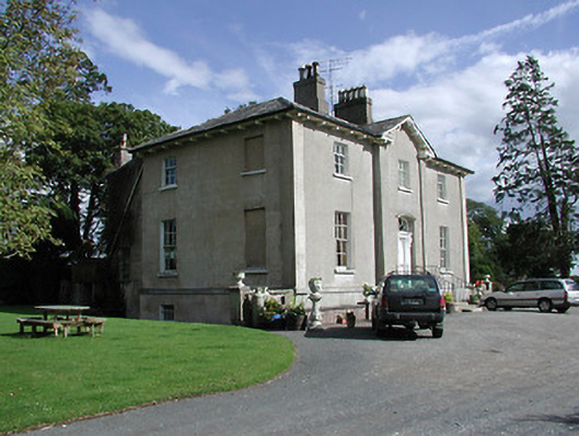 Crossoge Housecountry house · 805 yd
 Enclosure in Coolkill (moyaliff Par.)Enclosure · 993 yd
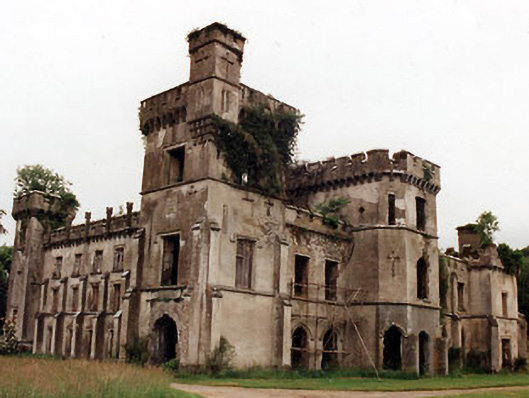 Castle Fogartycountry house · 1037 yd
 Coolkill Church (site of)Church · 1100 yd
 CastleCastle, ringwork · 1192 yd
 Black Castle (in ruins)Castle, unclassified · 1.4 mi
 KnockaneMountain / peak · 2.0 mi
 Pallas HillMountain / peak · 2.1 mi
 Cormackstown Heritage CentreMuseum · 2.2 mi
 European ashEuropean ash · 4.3 mi
 Lár na PáirceMuseum · 4.5 mi
 Drum WoodWood · 4.5 mi