What is recorded here
Indicated is a levelled fairy fort on a Mayo ridge, its twenty-seven-metre circle reduced to a faint undulation that field walls now cut like a knife through a dream. The western scarp still stands in the angle those walls form, guarding a small stone-filled depression and an eastern gap wide enough for a person to step through. What lived inside has vanished into the pasture, leaving only the shape of a door and the quiet suggestion that the ridge remembers more than it shows.
In rough/average pasture, on level ground on the top of a ridge, with a fall of ground to SW into a stream valley.
This rath has been levelled, but the outline of a circular area (diam. c. 27m) defined on the perimeter by a slight rise/undulation, representing a levelled bank, can still be traced. The circuit of the undulation is truncated at W by a straight NW−SE field wall and at NW by a straight NE−SW field wall. At W a short arc of scarp survives, protected in the angle formed by the junction of these two field walls. The interior is level and not significantly raised above exterior ground level. In the NW quadrant there is a small depression (diam. c. 0.5m) infilled with stones. The entrance may have been at E where there appears to be a gap (Wth c. 2m) in the enclosing undulation.
Compiled by: Jane O’Shaughnessy
Date of upload: 25 November 2021
The monument record does not grant public access. Check the route and ask the landowner before entering private land.
- What survives
- Recorded monument
Places near here
 CrossCross · 660 yd
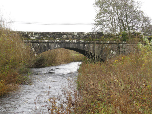 bridgebridge · 910 yd
 Glore Bridgebridge · 931 yd
 IndicatedFairy fort / earthen ringfort · 964 yd
 I'll Send You The FareMemorial · 1.0 mi
 Kiltimagh MuseumMuseum · 1.1 mi
 Thorn CaveCave · 2.3 mi
 Carrowbeg WoodWood · 2.9 mi
 CashlankeeghCastle, unclassified · 3.0 mi
 Castle in ruinsCastle, tower house · 4.6 mi
 East Mayo Brigade MonumentMemorial · 5.7 mi
 Knock ShrineHeritage attraction · 5.9 mi