What is recorded here
Embanked enclosure is a fairy fort or ringfort in Garrynageragh East, County Waterford, Ireland. The 1840 edition of the Ordnance Survey six-inch map marked it as a subcircular embanked enclosure measuring about 35 metres from north to south and about 30 metres from east to west. It occupies pasture on a slight southwest-facing slope, but the Archaeological Inventory of County Waterford recorded that it is not visible at ground level.
Marked as a subcircular embanked enclosure (ext. diam. c. 35m N-S; c. 30m E-W) on the 1840 ed. of the OS 6-inch map. Situated in pasture on a slight SW-facing slope, it is not visible at ground level.
The above description is derived from the published 'Archaeological Inventory of County Waterford' (Dublin: Stationery Office, 1999). In certain instances the entries have been revised and updated in the light of recent research.
Date of upload/revision: 03-09-2009
The monument record does not grant public access. Check the route and ask the landowner before entering private land.
- What survives
- Recorded monument
Places near here
 Embanked enclosureEnclosure · 155 yd
 Fulacht fia in Garrynageragh EastFulacht fia · 410 yd
 Site of CastleCastle, unclassified · 550 yd
 Clonea Church (in ruins)Church · 591 yd
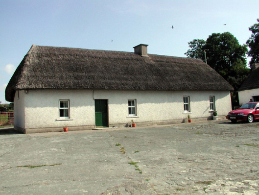 farm housefarm house · 951 yd
 Cloncoskoran Castle (in ruins)Castle, tower house · 1180 yd
 Clonea StrandBeach / strand · 1619 yd
 Horse-chestnutHorse-chestnut · 1.7 mi
 Cunnigar PointHeadland · 2.7 mi
 Dungarvan CastleCastle · 2.8 mi
 Dungarvan World War I MemorialMemorial · 2.8 mi
 Waterford County MuseumMuseum · 2.9 mi
Other information
Photo: Credit not shown in the picture search · Rights wording not checked; contact us if this picture should be removed