What is recorded here
Located on a slight rise on a SW-facing slope. The cropmark of a circular enclosure (diam. c. 60m NE-SW) defined by a fosse feature SW-NNE and SE-S but probably incorporating field boundaries elsewhere is visible on aerial photographs (MM (47) 21-3).
Compiled by: Michael Moore
Date of upload: 25 January, 2013
Amended: 2 May, 2014
The monument record does not grant public access. Check the route and ask the landowner before entering private land.
- What survives
- Recorded monument
Places near here
 Enclosure in DunmainEnclosure · 1151 yd
 Embanked enclosureFairy fort / ringfort · 1592 yd
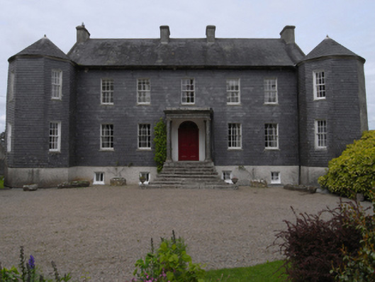 Dunmain Housefarm house · 1736 yd
 bridgebridge · 1.1 mi
 Ash CollectionVisitor information · 1.3 mi
 Castle (in ruins)Castle, unclassified · 1.4 mi
 Rathumney Castle (in ruins)Castle, hall-house · 1.4 mi
 Alder CollectionVisitor information · 1.4 mi
 The John F. Kennedy ArboretumForest · 1.6 mi
 Silver WattleSilver Wattle · 1.7 mi
 John F. Kennedy Arboretum MuseumMuseum · 1.7 mi
 Garden of RemembranceMemorial · 1.8 mi