What is recorded here
Marked as an oval embanked enclosure (ext. dims. c. 50m E-W; c. 35m N-S) only on the 1839 ed. of the OS 6-inch map and situated on a slight E-facing slope. It is now bisected by a N-S field bank but no features are visible at ground level in a root crop to the W and a cereal crop to the E.
From the National Monuments Service (Archaeological Survey of Ireland) record WX039-017
The monument record does not grant public access. Check the route and ask the landowner before entering private land.
- What survives
- Recorded monument
Places near here
Photo credits
- National Inventory of Architectural Heritage
- Mike Searle, Wikimedia Commons · CC BY-SA 2.0
- David Purchase, Wikimedia Commons · CC BY-SA 2.0
- Colin Park, Geograph · CC BY-SA 2.0
- seegraswiese, Wikimedia Commons · CC BY-SA 3.0
- Redmond O'Brien, Geograph · CC BY-SA 2.0
- Julie Anne Workman, Wikimedia Commons · CC BY-SA 3.0
- Richard Webb, Geograph · CC BY-SA 2.0
- John Myers, Geograph · CC BY-SA 2.0
- Humphrey Bolton, Geograph · CC BY-SA 2.0
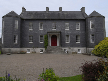 Dunmain HouseFarm house · 463 yd
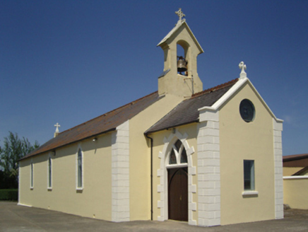 Catholic Church of Saint John the BaptistChurch/chapel · 1602 yd
 Rathumney Castle (in ruins)Castle, hall-house · 1.3 mi
_-_geograph.org.uk_-_7608906.jpg/250px-Castles_of_Leinster,_Tellarought,_Wexford_(1)_-_geograph.org.uk_-_7608906.jpg "Photo: Mike Searle, Wikimedia Commons · CC BY-SA 2.0") Castle (in ruins)Castle, tower house · 1.9 mi
Castle (in ruins)Castle, tower house · 1.9 mi SlievecoiltiaMountain / peak · 2.9 mi
 Campile WWII Bombing MemorialMemorial · 3.3 mi
 Devon whitebeam3.5 mi
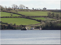 Nook BayBay · 5.4 mi
 Common Whitebeam5.5 mi
 Carrickbyrne HillMountain / peak · 5.6 mi
 Cheek PointHeadland · 5.6 mi
 Arthurstown BeachBeach / strand · 5.9 mi
More archaeology and monuments in County Wexford · All of County Wexford
What do you know about this place?