What is recorded here
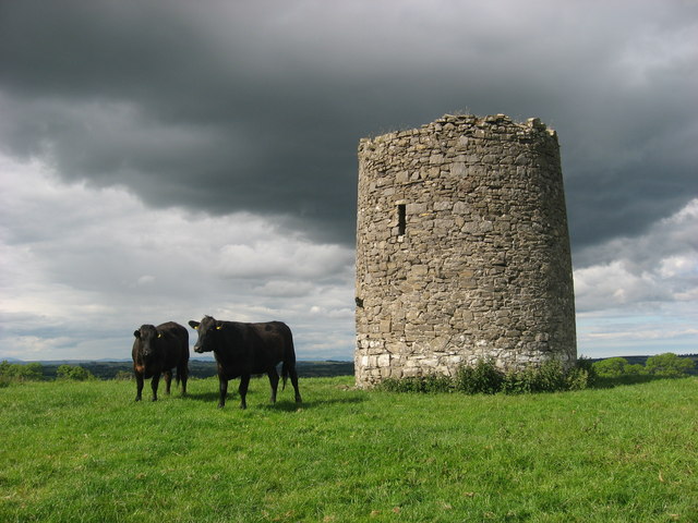
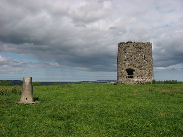
One chamber remains standing on the hill, its upper stages lost and both entrances blocked against intruding cattle. The stone still carries the name Edward Walsh and the year 1736, while a later mark shows 1827. It is not a grand ruin or a mysterious monument, but a working mill reduced to its base, set inside an old rampart and facing out over County Dublin.
Squat tower of windmill (NIAH Reg. No. 11313005) built of randomly coursed masonry, situated on the summit of a hill measuring 556 ft. OD. with commanding views of the surrounding countryside. On the 1837 ed. OSi 6-inch map the Windmill is depicted standing in the centre of an earthwork (DU003-004001-) which is not depicted as an antiquity with a 'Drying Kiln' and 'Quarry' depicted immediately to N of the earthwork and a pathway traversing the E quadrant on a N-S axis. The earthwork enclosing the windmill was described by Morris (1939, 186) as follows; 'Around the windmill is a circular rampart 275 yards in circumference, which is older than the windmill, as the quarrying of stones for the erection of the latter cut into this rampart. This rampart is 2 feet [0.6m] high on the inside and 5 [1.5m] to 8 feet 2.4m] on the outside'. It has been suggested that this enclosure is possibly contemporaneous with the windmill and was constructed to keep cattle away from the sails of the windmill as is the case at Skerries windmill (DU005-028----) (SMR File 05/10/1995).
Upper stages missing. An external plaque reads 'This Mill was built by Edward & Mary Walsh of Boranstown anno 1736'. There is an internal plaque to east but the names were removed by pocking of the stone. Above it is another stone marked 1827. The two entrances were infilled from the base to prevent cattle lodging within the structure. The 'Windmill of Garristown' is depicted on Rocque's 1760 Map of County Dublin.
See attached section of Rocque's Map of County Dublin showing the Windmill and photographs courtesy of Kieran Campbell
Compiled by: Geraldine Stout
Updated by: Christine Baker
Revised by: Caimin O'Brien
Date of revised upload: 7 March 2023
The monument record does not grant public access. Check the route and ask the landowner before entering private land.
- What survives
- Recorded monument
Places near here
 mill (wind)mill (wind) · 4 yd
 Ring-ditch in Newtown (balrothery West By., Garristown Ed)Ring-ditch · 631 yd
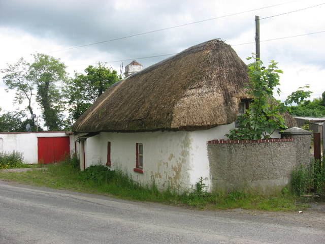 farm housefarm house · 698 yd
 TombTomb, effigial · 853 yd
 Newtown GorseWood · 1229 yd
 Newtown HillMountain / peak · 1.2 mi
 PuddenhillHeritage attraction · 2.3 mi
 Cornstown HouseHeritage attraction · 2.6 mi
 The story of the milk standMemorial · 2.8 mi
 St. John's WellSpring · 2.8 mi
 Lemur WoodWood · 3.1 mi
 Bawn in KilleglandBawn · 3.7 mi
Other information
Photo: Kieran Campbell · CC BY-SA 2.0