What is recorded here
An earthen ringfort in Killeen Wood, drawn on an 1842 map, has a 32-metre circular area, a low ridge, and a shallow outer ditch. Trees and undergrowth cover most of it, while a limestone quarry has cut into the southwest side. People may have lived, hidden, or marked boundary space there before the wood closed over the earthworks.
In Killeen Wood. Depicted as hachured circular enclosure on 1842 OS 6-inch map. Circular area (32m WNW-ESE) defined by low undulation (int. H 0.2m) WNW->SSE with shallow external fosse (D 0.5m). Interior slopes gently down to S. Enclosure covered by dense undergrowth and trees; limestone quarry truncates SW side.
The above description is derived from the published 'Archaeological Inventory of County Cork. Volume 4: North Cork' (Dublin: Stationery Office, 2000). In certain instances the entries have been revised and updated in the light of recent research.
Date of upload/revision: 14 January 2009
A fairy fort or earthen ringfort in Garraunigerinagh, likely dating to the early medieval period, is marked as a circular enclosure on the 1842 Ordnance Survey map. Local tradition associates such sites with fairy activity, and they were often avoided due to beliefs in supernatural inhabitants.
The monument record does not grant public access. Check the route and ask the landowner before entering private land.
- What survives
- Recorded monument
Places near here
 Burial in GarraunigerinaghBurial · 244 yd
 GarraunigerinaghCastle(inRuins) (1936)*Castle, tower house · 508 yd
 Janeville Househouse · 551 yd
 Enclosure in BoherderrogeEnclosure · 611 yd
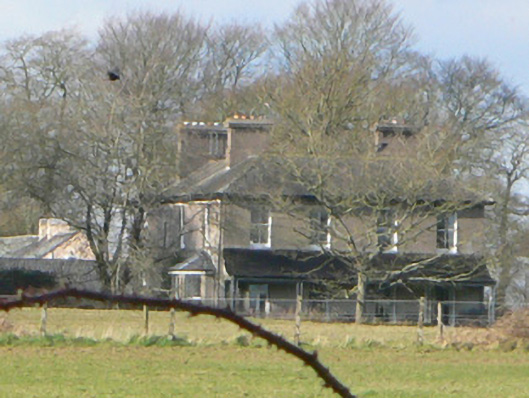 Gurrane Househouse · 673 yd
 Ballynahow Castle (in Ruins)Castle, tower house · 1604 yd
 Tourist InformationVisitor information · 2.1 mi
 Graveyard in FermoyGraveyard · 2.1 mi
 Kent BridgeMemorial · 2.1 mi
 Old Railway ViaductViewpoint · 2.3 mi
 St Dominick's WellSpring · 2.9 mi
 Ballybrack WoodForest · 3.2 mi