What is recorded here
A lost standing stone, one of four (WA024-073002-; WA024-107----; WA024-108----) that Power (1952, 176) suggested might have ogham writing at enclosure (WA024-073001-).
Compiled by: Michael Moore.
Date of upload/revision: 10th May, 2011.
Likely dating to the Early Medieval period, the stone may have been part of a ritual or territorial boundary marker, possibly associated with an early Christian or Pagan site. Its potential ogham inscription suggests a connection to early Irish or British literacy and land recording traditions.
The monument record does not grant public access. Check the route and ask the landowner before entering private land.
- What survives
- Recorded monument
Places near here
 Settlement cluster in GarranturtonSettlement cluster · 438 yd
 Enclosure in Ballynabanoge SouthEnclosure · 1467 yd
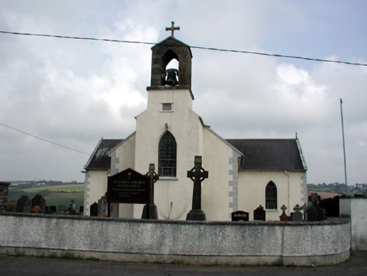 Saint Anne's Catholic Churchchurch/chapel · 1.7 mi
 Mandevilles RockCastle, unclassified · 1.9 mi
 Castle (in ruins)Castle, unclassified · 1.9 mi
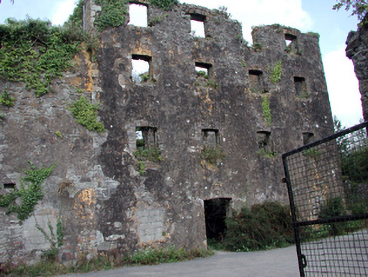 Carrigcastle Millmill (water) · 2.0 mi
 8 Arch GalleryGallery · 2.4 mi
 Stradbally Geological SundialHeritage attraction · 3.0 mi
 Ballydowane CoveBeach / strand · 3.2 mi
 Stradbally CoveBeach / strand · 3.5 mi
 Bunmahon Miners' CottagesVisitor information · 3.7 mi
 Trá na mBóVisitor information · 3.7 mi