What is recorded here
Enclosure in Garranturton is an enclosure in Garranturton, County Waterford, Ireland. It occupies pasture on a gentle east-facing slope, where a local story identifies a church site at the corner of a field because the soil becomes darker when ploughed. A bullaun stone with a single basin was found there but has since been lost, and three surviving standing stones from the area do not carry the ogham writing that one account attributed to four stones.
Situated in pasture on a gentle E-facing slope. Recorded (Power 1952, 176) as slight traces of an enclosure (diam. c. 30), there is a local tradition of a church site at the corner of a field where the soil becomes darker in colour when ploughed. A bullaun stone (WA024-073006-) (dims. c. 0.8m x 0.8m x 0.8m) with a single basin (diam. c. 0.3m; D c. 0.2m) found on the site (SMR file) has since been lost. Power (ibid) records that four standing stones may have had ogham writing; the three surviving ones (WA024-073002-; WA024-107----; WA024-108----) do not.
The above description is derived from the published 'Archaeological Inventory of County Waterford' (Dublin: Stationery Office, 1999). In certain instances the entries have been revised and updated in the light of recent research.
Compiled by: Michael Moore.
Date of upload/revision: 10th May, 2011.
The monument record does not grant public access. Check the route and ask the landowner before entering private land.
- What survives
- Recorded monument
Places near here
 Settlement cluster in GarranturtonSettlement cluster · 438 yd
 Enclosure in Ballynabanoge SouthEnclosure · 1467 yd
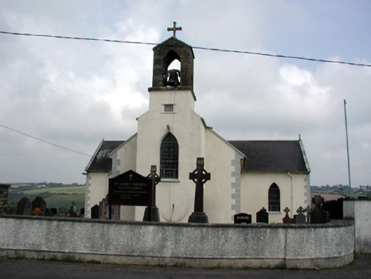 Saint Anne's Catholic Churchchurch/chapel · 1.7 mi
 Mandevilles RockCastle, unclassified · 1.9 mi
 Castle (in ruins)Castle, unclassified · 1.9 mi
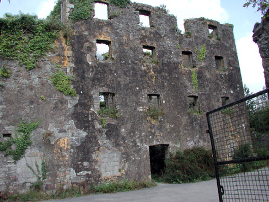 Carrigcastle Millmill (water) · 2.0 mi
 8 Arch GalleryGallery · 2.4 mi
 Stradbally Geological SundialHeritage attraction · 3.0 mi
 Ballydowane CoveBeach / strand · 3.2 mi
 Stradbally CoveBeach / strand · 3.5 mi
 Bunmahon Miners' CottagesVisitor information · 3.7 mi
 Trá na mBóVisitor information · 3.7 mi