What is recorded here
Fairy fort / earthen ringfort in Garoke is a fairy fort or earthen ringfort in Garoke, County Sligo, Ireland. It occupies an east-facing slope near the top of a broad steep sided ridge above undulating pasture and western blanket bog. A raised circular area measuring 21.8 metres by 20.4 metres sits inside an earthen bank that reaches 1.25 metres externally and 0.8 metres internally, though the northern arc is poorly preserved. A 3.1-metre-wide external fosse descends 0.5 metres all round, while a 2.2-metre-wide entrance opens in the southern arc above an interior that slopes eastward and curves slightly inward.
In undulating pasture, on an E-facing slope near the top of a broad steep sided ridge; there is blanket bog to W. A raised circular area (21.8m x 20.4m) enclosed by an earthen bank (Wth 2.7m; int. H 0.8m; ext. H 1.25m), poorly preserved along the N arc. An external fosse (Wth 3.1m; D 0.5m) is evident all round. The entrance (Wth 2.2m) is in the S arc. The interior slopes down to E and is slightly concave.
The above description is derived from the published 'Archaeological Inventory of County Sligo' compiled by Ursula Egan, Elizabeth Byrne, Mary Sleeman with Sheila Ronan and Connie Murphy (Dublin Stationery Office, 2005).
Date of upload: 18 January 2008
The monument record does not grant public access. Check the route and ask the landowner before entering private land.
- What survives
- Recorded monument
Places near here
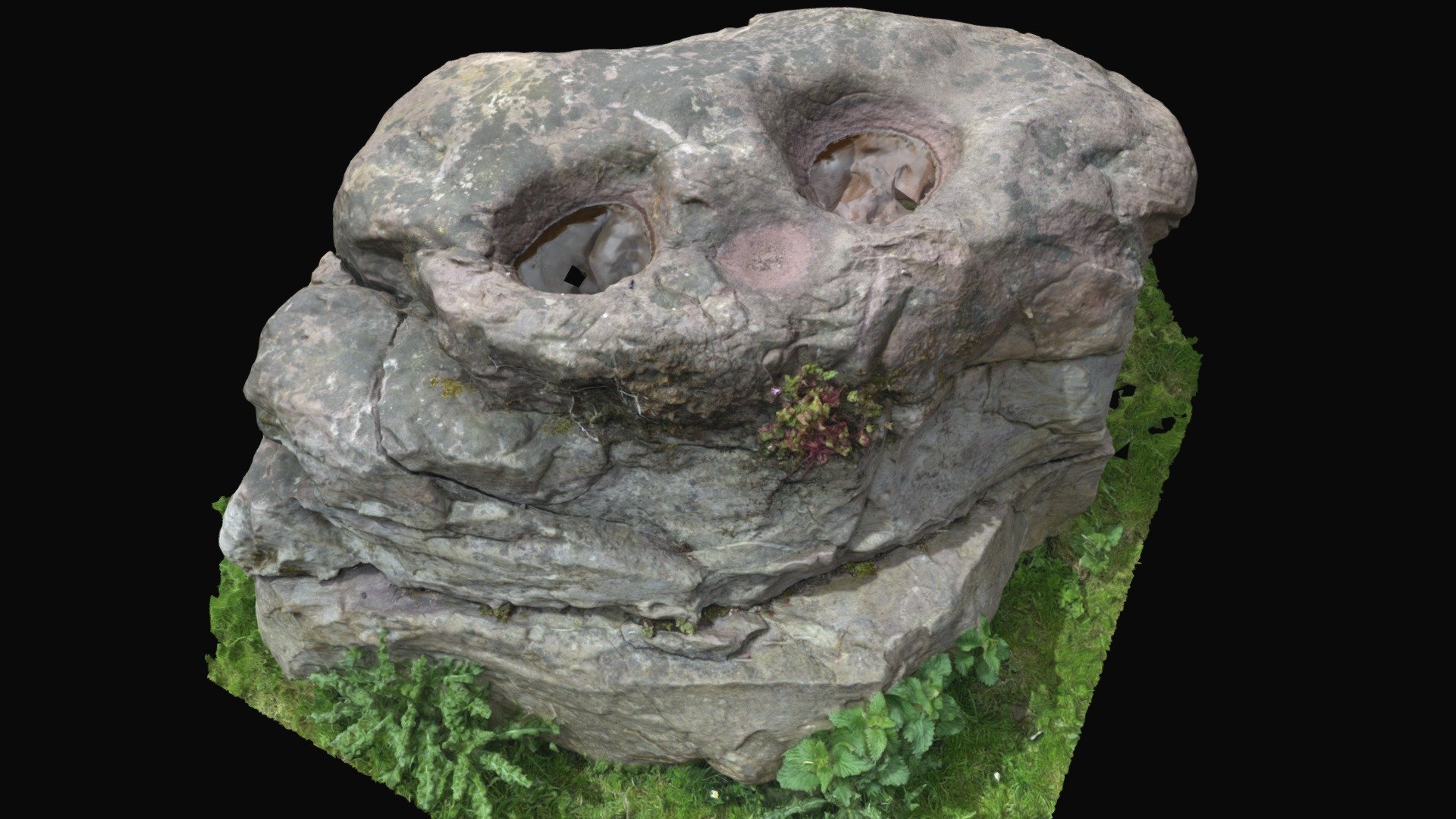 Enclosure in BullaunEnclosure · 564 yd
 LisglassArchaeological place · 900 yd
 Shancough Church (in Ruins)Church · 1173 yd
 Giants GraveArchaeological place · 1291 yd
 Barroe NorthMountain / peak · 1294 yd
 bridgebridge · 1.4 mi
 Geevagh Prisoners 1908 MemorialMemorial · 1.6 mi
 Ballindoon Castle (in Ruins)Castle, unclassified · 1.7 mi
 InishmoreIslet · 2.3 mi
 TumulusCastle, motte · 2.3 mi
 Loughbrick BayBay · 2.4 mi
 Annaghgowla IslandIslet · 2.6 mi