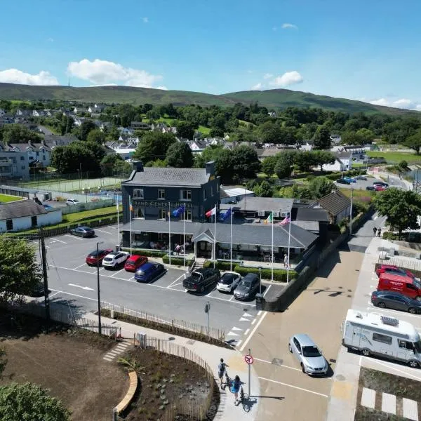
What is recorded here
Rampark Fort stands in County Galway, a quiet archaeological place where human hands shaped the land long before modern roads crossed it. The name suggests a ramp or slope, perhaps a boundary marker, a defensive line, or a path used by people who no longer leave written traces. What remains is a reminder that ordinary ground can hide unusual purpose, and that forgetting does not erase the shape of earlier life.
Rampark Fort is recorded as a archaeological place in County Galway. Its open map record supplies this location and any linked names or public references.
Places near here
 Rampark FortFairy fort / earthen ringfort · 17 yd
 Man-made underground passage in Claddagh WestMan-made underground passage · 543 yd
 Claddagh Castle (in ruins)Castle, tower house · 1109 yd
 Catholic Church of Our Lady and Saint Jarlathchurch/chapel · 1.2 mi
 Church (in Ruins)Church · 1.6 mi
 Castle (in ruins)Castle, tower house · 3.8 mi
 HawthornHawthorn · 6.9 mi
 European ashEuropean ash · 7.1 mi
 Knockmoy AbbeyHeritage attraction · 7.5 mi
 Mass RockNamed rock · 8.9 mi
 Menlough IRAMemorial · 11 mi
 Enclosure in Claddagh WestEnclosure · 1115 yd
Other information
Photo: Credit not shown in the picture search · Rights wording not checked; contact us if this picture should be removed