What is recorded here
In forest, at head of Sruhaunphadeen Stream valley to NE of Douce Mountain. Probable row of three stones, aligned NE-SW, 4.65m in overall length. NE stone is considerably out of line with others and leans markedly to W; it measures 1.4m L, 0.2m T and, if erect, 0.7m H. Next stone, 0.9m to S, is 0.95m L, 0.5m T and 1.2m H. SW stone, 1.1m to SW of last, is 0.6m L, 0.4m T and 1.7m H. Loose boulder rests against its base. Circular enclosure (9140) 18m to W. (Ó Nualláin 1988, 234, no. 32)
The above description is derived from the published 'Archaeological Inventory of County Cork. Volume 3: Mid Cork' (Dublin: Stationery Office, 1997). In certain instances the entries have been revised and updated in the light of recent research.
Date of upload/revision: 14 January 2009
The monument record does not grant public access. Check the route and ask the landowner before entering private land.
- What survives
- Recorded monument
Places near here
 Killeen Burial Ground (Disused)Burial ground · 901 yd
 Man-made underground passage in Doire Uí Ríordáin ThuaidhMan-made underground passage · 980 yd
 Douce MountainMountain / peak · 1.3 mi
 Doughill MountainMountain / peak · 1.7 mi
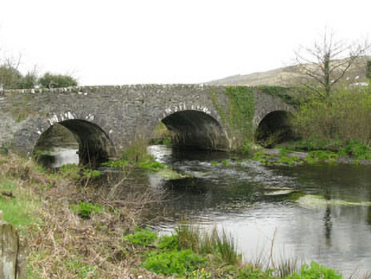 Inchinossig Bridgebridge · 2.4 mi
 Stepping StonesClapper bridge · 2.5 mi
 Gougane BarraValley and heritage place · 3.5 mi
 European ashEuropean ash · 3.7 mi
 Gortnahoughtee Mass RockNamed rock · 3.7 mi
 Togher CastleCastle, tower house · 4.9 mi
 St Finbarr's Pilgrim RouteWalking route · 5.0 mi
 Sli Gaeltacht MuscraiWalking route · 6.6 mi