
What is recorded here
Killeen Burial Ground is a disused triangular field on a north-facing slope in County Cork, marked by a low rectangular mound of stones aligned north to south. Cattle still walk the pasture above the dead, unaware that the ground beneath their hooves holds forgotten bodies. The fences form a sharp southern apex while a one-metre rise closes the northern edge, creating a small room where the living and dead share the same grass. What is buried there has stopped mattering to everyone except the stones themselves.
Named 'Killeen Burial Ground' on 1842 OS 6-inch map. In pasture, on N-facing slope. Triangular area defined by two field fences forming S apex of triangle; N edge defined by low rise (H 1m). Interior partially overgrown. Burials marked by low rectangular mound of stones, aligned N-S.
The above description is derived from the published 'Archaeological Inventory of County Cork. Volume 3: Mid Cork' (Dublin: Stationery Office, 1997). In certain instances the entries have been revised and updated in the light of recent research.
Date of upload/revision: 14 January 2009
The monument record does not grant public access. Check the route and ask the landowner before entering private land.
- What survives
- Recorded monument
Places near here
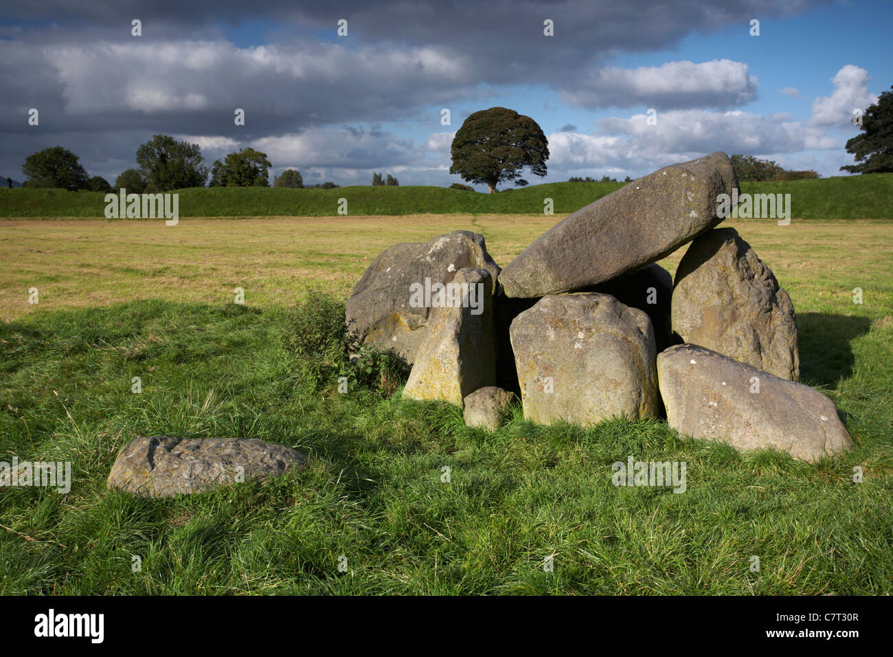 Giants GraveWedge tomb · 434 yd
 Wedge tomb in An ChlochbhuaileWedge tomb · 1403 yd
 CarriganineMountain / peak · 1.4 mi
 Shehy MoreMountain / peak · 1.4 mi
 Coolmountain Schoolschool · 2.7 mi
 Stepping StonesClapper bridge · 2.7 mi
 Gortnahoughtee Mass RockNamed rock · 3.2 mi
 Gougane BarraValley and heritage place · 4.0 mi
 European ashEuropean ash · 4.2 mi
 Togher CastleCastle, tower house · 4.4 mi
 St Finbarr's Pilgrim RouteWalking route · 5.2 mi
 Sli Gaeltacht MuscraiWalking route · 6.8 mi
Other information
Photo: Credit not shown in the picture search · Rights wording not checked; contact us if this picture should be removed