What is recorded here
One gallaun still stands in rough boggy pasture on the Iveragh Peninsula, a broad low slab rather than a proud pillar. The first Ordnance Survey marked two stones there, but the second vanished before the second edition, leaving the original intent impossible to read. It may have been a pair, an alignment, or a boundary marker for routes through difficult southwestern terrain.
Standing 1.5m to W of boulder burial (CO116-007001-); (H 1.15m; 0.8m x 0.4m).
The above description is derived from the published 'Archaeological Inventory of County Cork. Volume 1: West Cork' (Dublin: Stationery Office, 1992). In certain instances the entries have been revised and updated in the light of recent research.
Date of upload/revision: 14 January 2009
The monument record does not grant public access. Check the route and ask the landowner before entering private land.
- What survives
- Recorded monument
Places near here
 Boulder-burial in Cappaleigh NorthBoulder-burial · 31 yd
 Stone CircleHut site · 753 yd
 Hungry Hill GalleryGallery · 926 yd
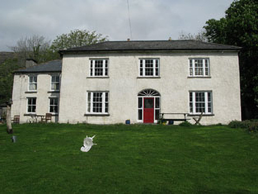 Adrigole Houserectory/glebe/vicarage/curate's house · 970 yd
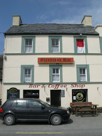 hotelhotel · 1017 yd
 West Cork Sailing & Powerboating CentreHeritage attraction · 1187 yd
 Graveyard in DrumlaveGraveyard · 1400 yd
 Mass MountMountain / peak · 1455 yd
 Orthon's IslandIslet · 1474 yd
 Adrigole MountainMountain / peak · 1.2 mi
 Shot HeadHeadland · 2.2 mi
 Loughure IslandIslet · 2.4 mi