
What is recorded here
Firt is a fairy fort on the north bank of the River Blackwater in County Meath, where a broad earthen ring and shallow ditch still mark a forgotten entrance. People may have lived inside its grassy circle before the field bank swallowed its edge, yet the true layout has vanished under age and scrub. The river keeps the place alive, moving past the ridge like water remembering a shape it no longer understands.
Situated on a rise on the N bank of a NW-SE section of the River Blackwater, with the stream c. 30m to the W. This is a subcircular grass and scrub-covered area (dims 35m NE-SW; 31m NNW-SSE) defined by an overgrown earthen bank (Wth of base 12-13m; int. H 0.8-1m; ext. H 2.2-2.4m) separated by a fosse (Wth of base 1m; ext. D 0.6-0.9m) WNW-E-S from a small outer bank (Wth of base 2m at S to 6m at N; ext. H 0.1m at S to 0.4m at N) that morphs into a field bank E-S. The original entrance is not identified.
The above description is derived from the published 'Archaeological Inventory of County Meath' (Dublin: Stationery Office, 1987). In certain instances the entries have been revised and updated in the light of recent research.
Compiled by: Michael Moore
Date of revision: 12 April 2019
The monument record does not grant public access. Check the route and ask the landowner before entering private land.
- What survives
- Recorded monument
Places near here
 Enclosure in SedenrathEnclosure · 1136 yd
 CastleCastle, unclassified · 1408 yd
 Orchard WoodWood · 1481 yd
 TuliptreeTuliptree · 1541 yd
 Castle ruinsCastle · 1572 yd
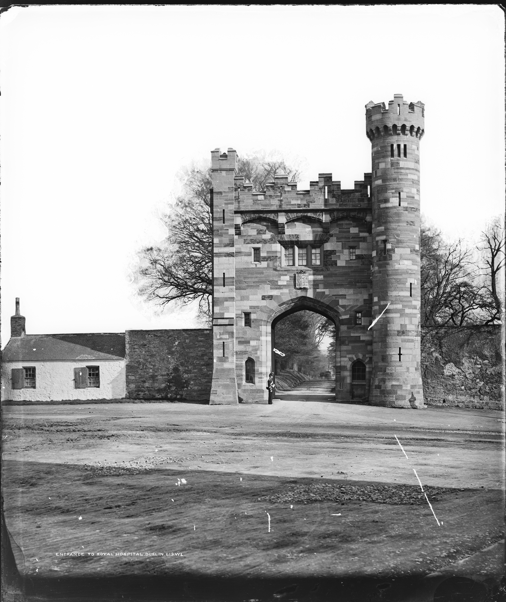 Enclosure in Kilmainham (headford)Enclosure · 1.1 mi
 Headfort Housedemesne walls/gates/railings · 1.1 mi
 Scoil Náisiúnta Chaitríona Naofaschool · 1.4 mi
 BallybegMountain / peak · 1.8 mi
 Saint John's CemeteryMemorial · 2.1 mi
 BalreaskMountain / peak · 2.1 mi
 Kells Anglers Association MemorialMemorial · 2.2 mi
Other information
Photo: Credit not shown in the picture search · Rights wording not checked; contact us if this picture should be removed