What is recorded here
In marshy ground, on N side of stream. Dry, grass-covered, roughly circular area indicates position. Burnt material not visible.
The above description is derived from the published 'Archaeological Inventory of County Cork. Volume 3: Mid Cork' (Dublin: Stationery Office, 1997). In certain instances the entries have been revised and updated in the light of recent research.
Date of upload/revision: 14 January 2009
The monument record does not grant public access. Check the route and ask the landowner before entering private land.
- What survives
- Recorded monument
Places near here
 IndicatedFairy fort / earthen ringfort · 458 yd
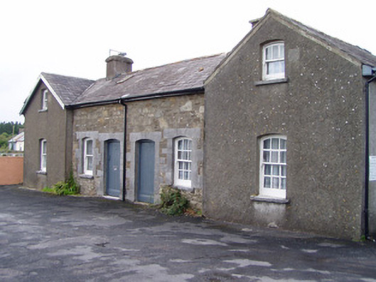 Millstreet Railway Stationworker's house · 1441 yd
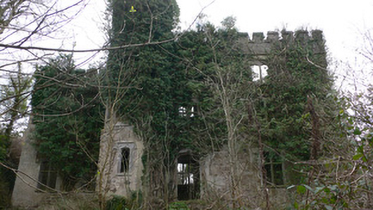 Duarrigle Castlecountry house · 1666 yd
 Church (Site of)Church · 1671 yd
 Dromsicane Castle (in Ruins)Bawn · 1720 yd
 Castle and TurretCastle, tower house · 1.7 mi
 Millstreet Museum & Tourist Information CentreMuseum · 1.9 mi
 Claragh Loop (Trailhead 99)Visitor information · 1.9 mi
 Millstreet Tourist InformationVisitor information · 1.9 mi
 Claragh MountainMountain / peak · 2.4 mi
 RowanRowan · 2.6 mi
 CurracahillMountain / peak · 3.9 mi
Other information
Photo: Credit not shown in the picture search · Rights wording not checked; contact us if this picture should be removed