
What is recorded here
Two whitethorn bushes and buried stones mark a vanished church inside a Cork burial ground. The site hides beneath soil and memory, yet the bushes still point toward the place where people worshipped.
Marked only on 1936 OS 6-inch map, within burial ground (14103). No visible surface trace of church. According to Bowman (1934, 300), 'two whitethorn bushes c. 24 feet apart are said to indicate the site of the church.' Broker (1937, 55) recorded 'two great stones 8 or 9 feet apart' (recumbent L 6ft; Wth 5ft narrowing to 2ft; T 2ft: L 4ft; Wth 2ft; flush with ground) within church site. Possibly same stones referred to by Bowman (ibid.) 'c. 15 yards E of Church site' (9862). One natural boulder remains on top of hillock.
The above description is derived from the published 'Archaeological Inventory of County Cork. Volume 4: North Cork' (Dublin: Stationery Office, 2000). In certain instances the entries have been revised and updated in the light of recent research.
Date of upload/revision: 14 January 2009
The monument record does not grant public access. Check the route and ask the landowner before entering private land.
- What survives
- Recorded monument
Places near here
 Dromsicane Castle (in Ruins)Bawn · 972 yd
 Fulacht FiadhFulacht fia · 1671 yd
 Millstreet Railway Stationrailway station · 1757 yd
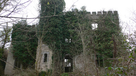 Duarrigle Castlecountry house · 1.1 mi
 IndicatedFairy fort / earthen ringfort · 1.2 mi
 Castle and TurretCastle, tower house · 1.4 mi
 Millstreet Tourist InformationVisitor information · 2.2 mi
 Millstreet Museum & Tourist Information CentreMuseum · 2.2 mi
 Claragh Loop (Trailhead 99)Visitor information · 2.2 mi
 RowanRowan · 3.1 mi
 Claragh MountainMountain / peak · 3.1 mi
 Rathcool WoodWood · 3.7 mi
Other information
Photo: Credit not shown in the picture search · Rights wording not checked; contact us if this picture should be removed