What is recorded here
Identified as Site 12 by Damien Finn during archaeological monitoring (License 98E0506) associated with the N20/N21 Limerick Bypass (Finn 1999). The site is located on marshy ground 35m E of the Ballynaclough River. Archaeological monitoring of topsoil stripping ‘revealed a low mound of burnt stones and charcoal. The mound had a maximum height of 0.5m and a maximum diameter of 10m N-S and 12m E-W’ (Finn 1999, 90). Following consultation with Dúchas it was decided that the area could be covered in a geotextile material, sand and earth, as it lay in an outside the main construction works and so would not be affected by the development (www.excavations.ie 1999; Finn 2000, 155-6).
Compiled by: Martin Fitzpatrick
Date upload: 29 June 2020
The monument record does not grant public access. Check the route and ask the landowner before entering private land.
- What survives
- Recorded monument
Places near here
 Fulacht fia in DooradoyleFulacht fia · 190 yd
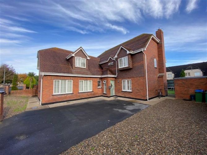 Enclosure in DooradoyleEnclosure · 221 yd
 St. Dominicks Church (in ruins)Church · 872 yd
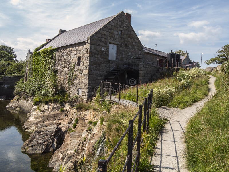 Shanwillen Old MillMill, unclassified · 1353 yd
 CastleCastle, unclassified · 1.1 mi
 Castle (in ruins)Castle, tower house · 1.3 mi
 Limerick Seamen's MemorialMemorial · 2.0 mi
 Fountain SculptureHeritage attraction · 3.7 mi
 Visitor CentreVisitor information · 3.7 mi
 Campus MapVisitor information · 3.7 mi
 Sailors HaggardMemorial · 5.1 mi
 Cratloe WoodsForest · 6.6 mi