What is recorded here
A spread (min. dims. 15m x 10m) of heat-shattered stones and charcoal-enriched soil was discovered during monitoring of topsoil stripping along the route of the Caherbeg-Ballincollig Bord Gáis Éireann pipeline and excavated in 1999. Excavation revealed a rectangular straight-sided trough (2.1m E-W; 1.8m N-S; D 0.65m), the base of which sloped slightly down to the N. The trough was filled with a deposit (D 0.15-0.2m) of silt and heat-shattered stones which was in turn sealed by 0.4m of heat-shattered stones and charcoal in a loose soil. No evidence of any lining for the trough was found. A shallow horseshoe-shaped cut (1.85m x 1.25m; D 0.25m) with some possible kerb stones, which lay immediately to the E of the trough was interpreted as the remains of a hearth. Another fulacht fia (CO063-056----) lies c. 180m to the SE. (Coughlan 2000c, 33-4; 2000d)
The above description is derived from 'The Archaeological Inventory of County Cork. Volume 5' (Dublin: Stationery Office, 2009).
Date of upload: 22 December 2009
The monument record does not grant public access. Check the route and ask the landowner before entering private land.
- What survives
- Recorded monument
Places near here
 bridgebridge · 482 yd
 farm housefarm house · 796 yd
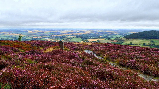 Burnt mound in KilleendanielBurnt mound · 1045 yd
 Old Cemetery KilcullyMemorial · 1277 yd
 Castle (Site of)Castle, unclassified · 1376 yd
 Murphy's RockViewpoint · 1.4 mi
 ToberbarryHoly well · 1.5 mi
 Clogheenmilcon Nature Reserve Killeens EndPicnic place · 1.7 mi
 Delaney Brothers MonumentMemorial · 1.7 mi
 Mashanaglass Castle (in Ruins)Castle, tower house · 18 mi
 Seefin East TopMountain / peak · 19 mi
 Summerhouse WoodForest · 19 mi