
What is recorded here
In boggy ground, on a gentle S-facing slope. A small possible fulacht fia was noted here during tree planting in 2001 (pers. comm. John Roche). This could not be located in 2005.
The above description is derived from 'The Archaeological Inventory of County Cork. Volume 5' (Dublin: Stationery Office, 2009).
Date of upload: 22 December 2009
The monument record does not grant public access. Check the route and ask the landowner before entering private land.
- What survives
- Recorded monument
Places near here
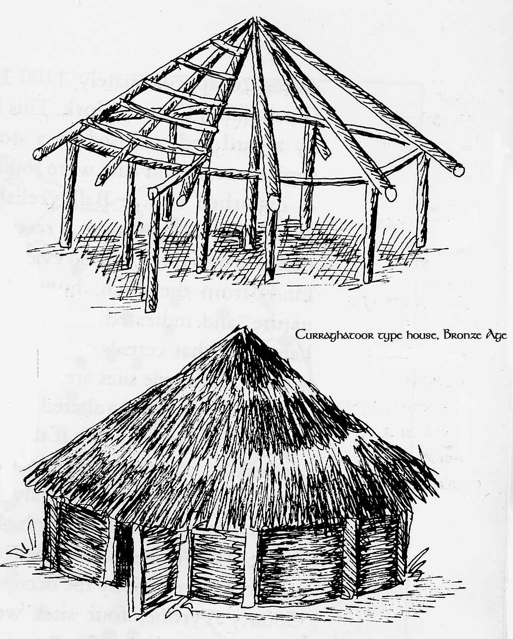 Fulacht FiadhFulacht fia · 1070 yd
 Fulacht fia in GooseberryhillFulacht fia · 1338 yd
 KilnKiln, lime · 1759 yd
 Saint Joseph's Churchchurch/chapel · 1.4 mi
 Carrig Castle (Site of)Castle, unclassified · 2.1 mi
 Stanner's Glen, Priory WoodWood · 3.0 mi
 CastleCastle, unclassified · 3.3 mi
 KnockacummerMountain / peak · 3.8 mi
 Mullaghareirk - Banane LoopWalking route · 4.1 mi
 TaurMountain / peak · 5.4 mi
 Kanturk CastleHeritage attraction · 7.8 mi
 Saint Ite's WellSpring · 8.9 mi
Other information
Photo: Credit not shown in the picture search · Rights wording not checked; contact us if this picture should be removed