
What is recorded here
This site was excavated by Kate Taylor (02E0899) as part of Bord Gáis Éireann's Pipeline to the West. It was on the western edge of a low-lying area of bog, at the base of a steep hill. This is the record for the eastern fulacht fia which was ‘c. 9.5m in diameter and a maximum of 0.15m thick … overlay sub-rectangular trough lined with timber planks and stakes.’ This description is posted on the web at the following internet address (accessed 2 August 2012): http://www.excavations.ie/
Compiled by: Denis Power
Date of Upload: 2 August 2012
The monument record does not grant public access. Check the route and ask the landowner before entering private land.
- What survives
- Recorded monument
Places near here
 Burnt mound in RobertstownBurnt mound · 94 yd
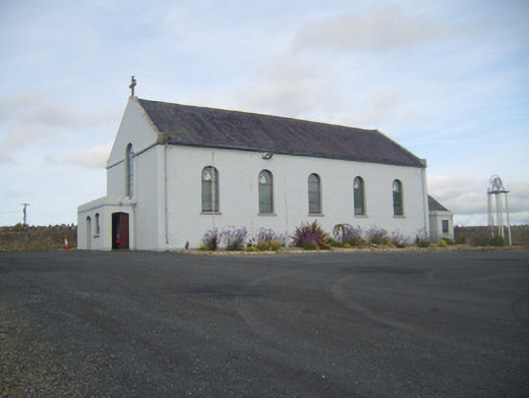 Saint Senan's Catholic Churchchurch/chapel · 562 yd
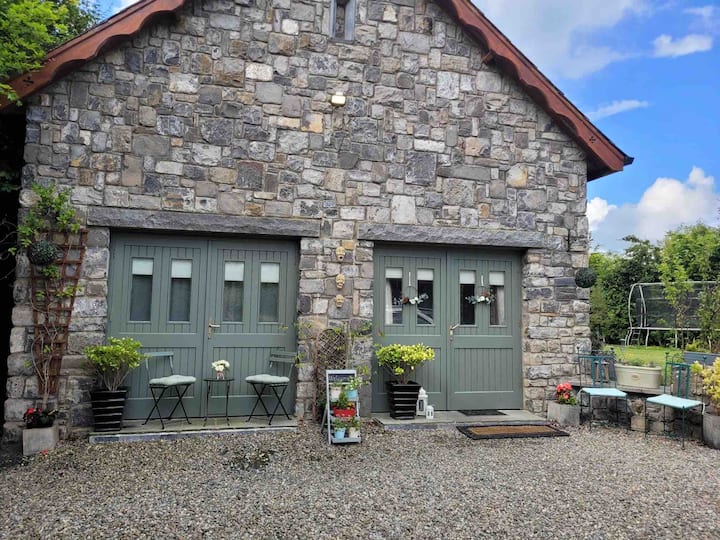 Enclosure in RobertstownEnclosure · 618 yd
 Robertstown Church (in ruins)Church · 801 yd
 Robertstown Castle (in ruins)Castle, tower house · 962 yd
 Dysert Castle (in ruins)Castle, tower house · 1.4 mi
 Foynes Flying Boat & Maritime MuseumMuseum · 1.9 mi
 Foynes Island ViewpointViewpoint · 2.1 mi
 Gammarel PointHeadland · 2.1 mi
 Foynes IslandIsland · 2.5 mi
 Battery PointHeadland · 2.8 mi
 Monterey CypressMonterey Cypress · 3.2 mi
Other information
Photo: Credit not shown in the picture search · Rights wording not checked; contact us if this picture should be removed