What is recorded here
Situated in a hollow between drumlins. An archaeological excavation (05E0784) carried out as part of the N2 Castleblayney-Clontibret road realignment scheme at a site known as Grig 1 uncovered a rectangular trough (dims 1.5m x 1.25m; D 0.45m) and a sub-circular (dims 1.5m x 1.25m; D 0.25m) trough placed c. 10m apart, the former beneath a small spread of burnt mound material, the latter under a larger spread (dims 6.4m x 5.8m; T 0.2m). A fragment of charcoal from the subcircular trough produces a C14 date of 1000+-30 BP that calibrates to AD 980-1160. A sample from the other trough (MO019-050001-), located c. 10m to the SE produced a date in the Late Bronze Age.
It is probable that two fulachta fia, widely separated in time, are represented here, each being matched by a trough of a similar time period from the two fulachta fia (MO019-049----; MO018-049001-) located c. 130m to the N. (Halpin B. 2008; 2010, 6, 11,V)
Revised by: Michael Moore
Date of revised upload: 22 June 2018
The monument record does not grant public access. Check the route and ask the landowner before entering private land.
- What survives
- Recorded monument
Places near here
 Fulacht fia in GrigFulacht fia · 148 yd
 Monaghan WayWalking route · 1260 yd
 Crannog in MoneyvolanCrannog · 1583 yd
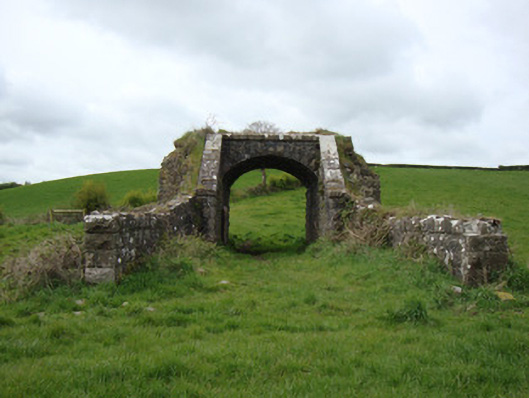 bridgebridge · 1.0 mi
 Corratanty Housefarm house · 1.3 mi
 The CrescentMemorial · 1.5 mi
 John Francis GreenMemorial · 1.6 mi
 Bawn in OnomyBawn · 2.0 mi
 Blaney CastleCastle · 2.1 mi
 Harper's IslandIslet · 2.5 mi
 Garmany's IslandIslet · 2.6 mi
 Lough MucknoLake and park landscape · 2.8 mi
Other information
Photo: Credit not shown in the picture search · Rights wording not checked; contact us if this picture should be removed