What is recorded here
Located in lowlying flat, reclaimed pastureland. This burnt mound was discovered during archaeological monitoring of the Lough Mask Regional Water Supply Scheme (2001-2002) and was subsequently fully excavated (01E0966) (Guinan 2015, 90-92; 99-103, Fallakeeran II). It had been heavily disturbed in the recent past, and only a small residual deposit (2m NW–SE; 5m NE–SW) of burnt stone and charcoal remained. No trough was found. A fragment of animal bone (cattle) was recovered. A charcoal sample submitted for radiocarbon analysis produced a date (2992 +/-26 BP (1320-1120 BC) indicating use of the site in the Middle/Late Bronze Age. There is a burnt mound (MA122-114---- c. 35m to SSW, and another (MA112-115----) c. 100m to SW. Another fulacht fia (MA112-112----) was located c. 150m to NE. (Guinan 2015, 90-92; 99-103).
Compiled by: Jane O’ Shaughnessy
Date of upload: 3 March 2016
The monument record does not grant public access. Check the route and ask the landowner before entering private land.
- What survives
- Recorded monument
Places near here
 IndicatedEnclosure · 788 yd
 Esker FortEnclosure · 1015 yd
 CastleCastle, unclassified · 1.6 mi
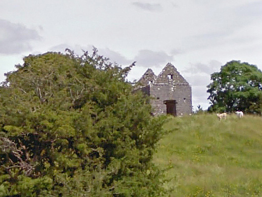 aviary/dovecote/pigeon houseaviary/dovecote/pigeon house · 2.0 mi
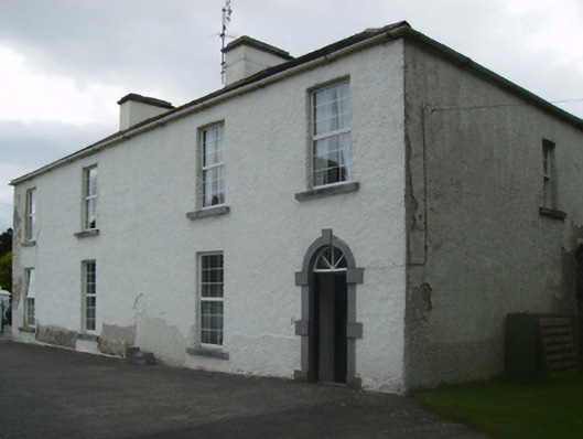 Cuillaun Housefarm house · 2.1 mi
 Castlekeel (in ruins)Castle, unclassified · 4.8 mi
 Oak WoodForest · 4.9 mi
 European ashEuropean ash · 10 mi
 Mass RockNamed rock · 11 mi
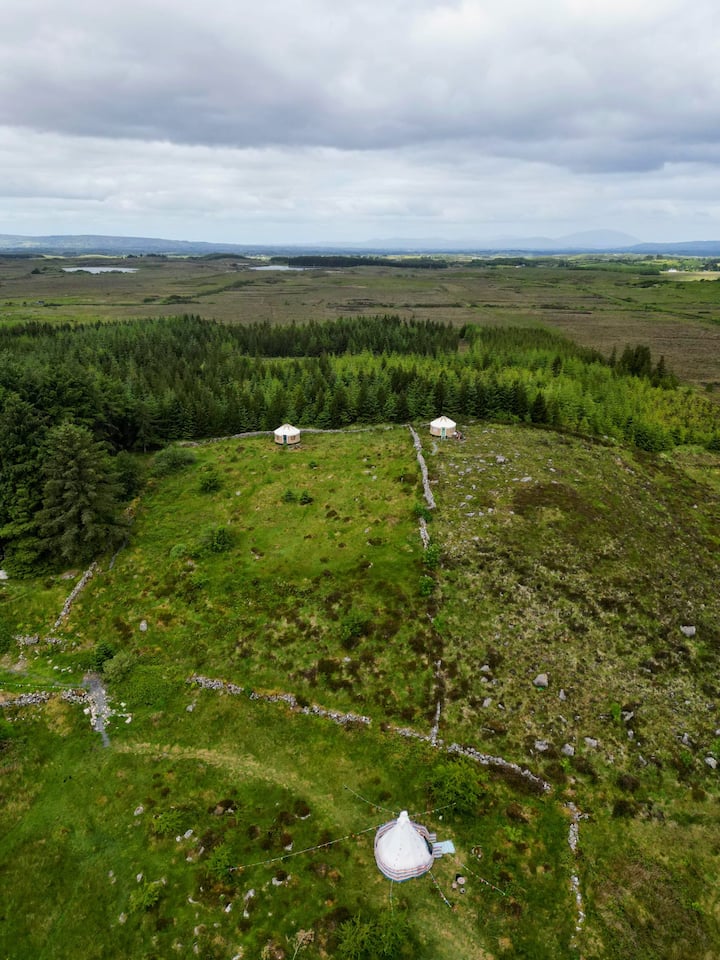 Enclosure in KilvineEnclosure · 1077 yd
 Conors FortFairy fort / earthen ringfort · 1328 yd
 LisbrackFairy fort / earthen ringfort · 1646 yd