What is recorded here
On a SE-facing slope. Excavated in 2007 in advance of the N9/N10 Kilcullen to Waterford road improvement scheme (Licence no. E3606, Area D). The badly disturbed remains of a burnt spread (6m N-S; 4m E-W) with two troughs and a possible water cistern to the E. One trough was flat-bottomed and subrectangular, the second trough was linear and had four pits immediately to the W. A concentration of post-holes was located between the troughs. A hearth was located in the W of Area D. 10m NE of the hearth a small slot-trench containing 4 post-holes was found with intercutting pits. A radiocarbon sample from the hearth yielded dates of 41 cal BC – cal AD 55 (UBA-14024). A post-hole in Area D yielded dates of 762-416 cal BC (UBA-14025). (Devine 2010, 242, no. 908; Devine and Coughlan 2012)
Compiled by: Mary Tunney
Date of upload: 26 November 2013
The monument record does not grant public access. Check the route and ask the landowner before entering private land.
- What survives
- Recorded monument
Places near here
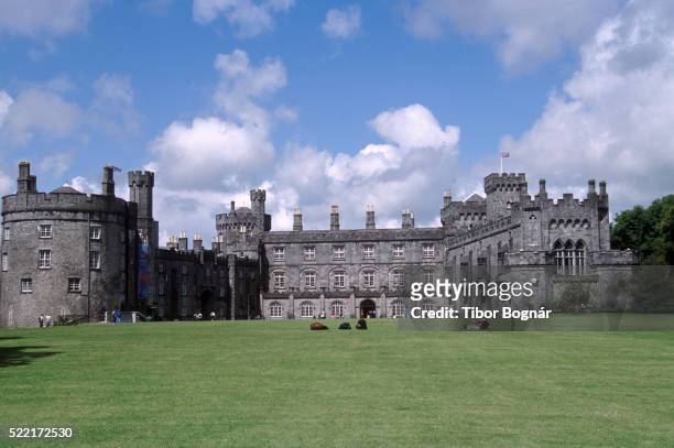 Danganbeg Castle (Site of)Castle, unclassified · 289 yd
 BaysrathArchaeological place · 919 yd
 IndicatedEnclosure · 1190 yd
 farm housefarm house · 1241 yd
 Vicarsfield Rectoryrectory/glebe/vicarage/curate's house · 1392 yd
 Sheepstown Castle (site of)Archaeological place · 1707 yd
 Turkey OakTurkey Oak · 1.2 mi
 Church (in Ruins), GraveyardChurch · 2.1 mi
 Pat WalshMemorial · 2.3 mi
 Kells Augustinian PrioryHeritage attraction · 3.0 mi
 Castlemorris Pheasant LoopWalking route · 3.0 mi
 Castlemorris WoodForest · 3.0 mi