What is recorded here
Situated in the valley of the NNW-SSE meandering River Tolka with a W-E section of the stream immediately to the S. Archaeological centre-line testing (04E0489) by R. O’Hara of Testing Area 5, Contract 1, prior to the construction of the M3 motorway identified a burnt stone spread (excavations.ie: 2004:1191) that was fully excavated (E003028) by L. Clarke as Bracetown 1 in August 2005. It consisted of a crescent-shaped mound (dims 15.25m NW-SE; 8m NE-SW; max. D 0.34m) of heat-shattered stones, flecks of charcoal and charcoal-stained clay with some smaller detached portions. Some burnt bone and animal bone was recovered from the mound as well as a piece of polished bone and a chert blade. Most of the identified animal bone is from cattle but one dog bone was present. The mound was interleaved with alluvial deposits that sealed a smaller burnt mound (dims 1.5m x 1m). Beneath the large mound were two shallow depressions and a probable trough (dims 1.16m x 0.78m; D 0.29m), all filled with broken and burnt stone. A sample from the lower mound produced a C14 date of 2135-1908 cal. BC while a sample from the large mound yielded a determination of 1387-1129 cal. BC. (Clarke 2008)
Compiled by: Michael Moore
Date of upload: 4 November 2021
O’Hara, R. 2004 M3 Clonee - North of Kells, Contract 1 Clonee – Dunshaughlin. Final Report on Archaeological Assessment at Testing Area 5 Bracetown, Co. Meath. Licence: 04E0489. Unpublished report, Archaeological Consultancy Services
The monument record does not grant public access. Check the route and ask the landowner before entering private land.
- What survives
- Recorded monument
Places near here
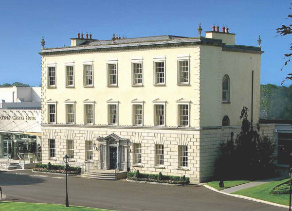 Enclosure in DunboyneEnclosure · 678 yd
 Enclosure in LoughsallaghEnclosure · 701 yd
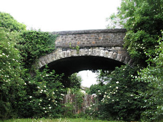 bridgebridge · 949 yd
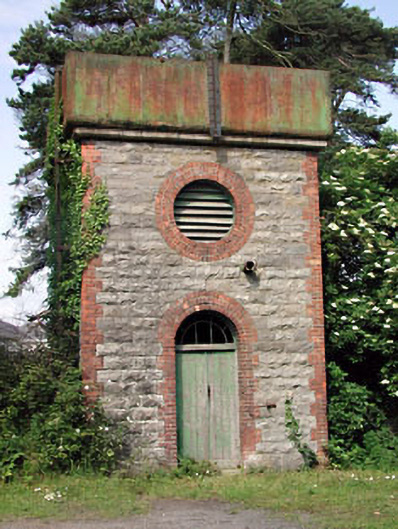 Dunboyne Railway Stationwater tower · 966 yd
 CastleCastle, ringwork · 1534 yd
 Caulstown Christmas Tree FarmForest · 2.0 mi
 TyrrelstownWood · 2.7 mi
 Graveyard in BuzzardstownGraveyard · 3.0 mi
 Church, GraveyardChurch · 3.1 mi
 Kilbride MoatCastle, motte · 3.5 mi
 Blanchardstown Centre information deskVisitor information · 3.5 mi
 Griffeen Valley WalkWalking route · 5.5 mi