What is recorded here
On a slight S-facing slope, in low-lying, gently undulating wet pasture, c. 45m to S of a watercourse. Moderate views from E-S-W and restricted views from W-N-E. Not depicted on OS historic mapping. Identified by the landowner as one of two fulacht fia. The second fulacht fia (LI012-125----) lies 200m to NE. Recorded as site number 1 by Celie O' Rahilly during an inspection for NMS in 1989 and described as a mound (approx. dims. 20m N-S x 16m E-W) of blackened soil and angular-shaped heat-shattered stone exposed during ploughing. The concentration of stones was highest in the centre and thinned out toward the perimeter with the blackest area of high charcoal content being in the E quadrant. A roughly circular-shaped depression (diam. 6m) in the centre probably represents the trough and was unaffected by the plough, whereby most of the sod remained in situ (SMR File).
Site was re-inspected by the ASI in 2001 and described as a low profile oval-shaped depression (13.8m N-S; 9.6m E-W) enclosed by a broad bank (int. H. 0.2-0.35m; ext. H 0.25m; overall Wth 6.5-10.8m) of charcoal-rich earth; There is no obvious opening. The interior is generally level and probably represents the trough area (3.2m N-S). Monument is visible as a dark green roughly oval-shaped area of differential growth on Digital Globe orthophotos taken 2011-13 or Google Earth orthoimages taken 19/11/2019.
See attached Google Earth orthoimages
Compiled by: Alison McQueen and Vera Rahilly
Date of upload: 8 July 2020
The monument record does not grant public access. Check the route and ask the landowner before entering private land.
- What survives
- Recorded monument
Places near here
 Enclosure in TervoeEnclosure · 760 yd
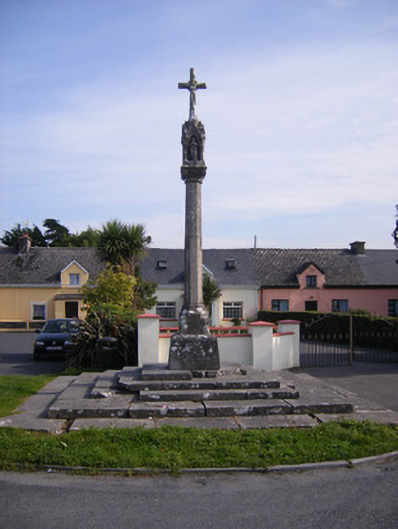 Monsell Monumentmonument · 1094 yd
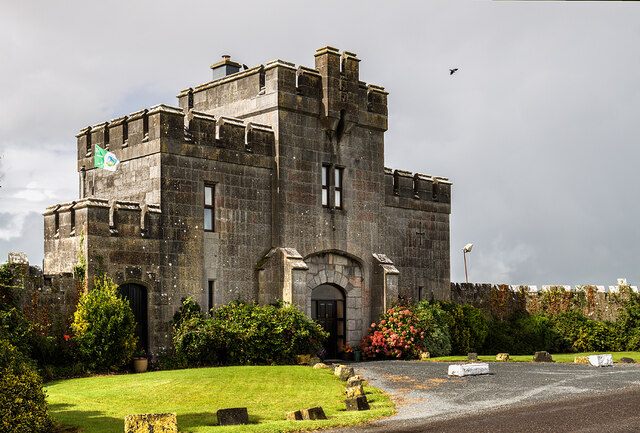 Elm Park Housegate lodge · 1123 yd
 Grave YardGraveyard · 1512 yd
 St James's WellSpring · 1.0 mi
 Carrigogunnell CastleRuins · 1.2 mi
 Meelick Ho.House, fortified house · 1.6 mi
 Coonagh NatureNature reserve · 1.7 mi
 Sailors HaggardMemorial · 2.0 mi
 Grass IslandIslet · 4.5 mi
 Cratloe WoodsForest · 4.6 mi
 Maiden RockNamed rock · 4.8 mi