What is recorded here
On level improved pastureland. A spring well is indicated and named ‘Toberrea’ at this location on the 1915 ed. OS 6-inch map.
A well-preserved classic horseshoe-shaped burnt mound (dims. 15.1m NE–SW; 9.9m NW-SE; H 0.3–1.1m) open to the E. The trough area (2.4m NE–SW; 3.4m NW-SE) is poached by livestock accessing the spring, which is separated from the site by a later field wall (H 1m; Wth 0.7m).
Compiled by: Mary Tunney and Ros Ó Maoldúin
Date of upload: 30 September 2021
The monument record does not grant public access. Check the route and ask the landowner before entering private land.
- What survives
- Recorded monument
Places near here
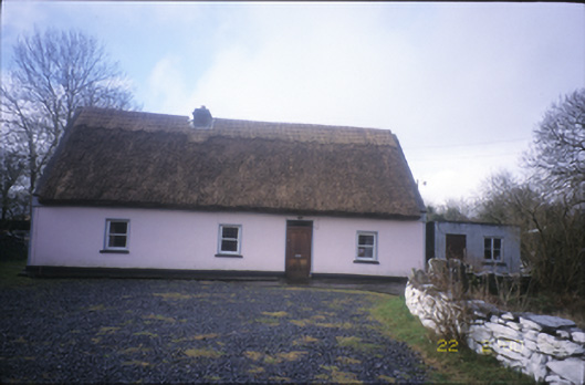 Tulla Parkfarm house · 1478 yd
 ToberacollureHoly well · 1652 yd
 IndicatedChurch · 1678 yd
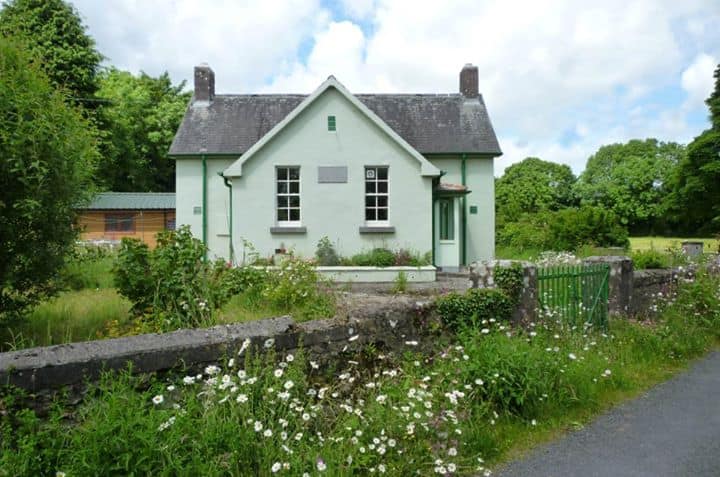 Enclosure in CushacorraEnclosure · 1.2 mi
 Grave of Saint Mac Duagh's ServantArchaeological place · 1.8 mi
 Cahererillan CastleCastle · 2.0 mi
 Castle in ruinsCastle, unclassified · 2.2 mi
 Kilnaloone GraveyardArchaeological place · 3.1 mi
 Kilmacduagh Monastic SiteVisitor information · 3.6 mi
 Kilmacduagh MonasteryHeritage attraction · 3.6 mi
 Turlough HillMountain / peak · 4.0 mi
 Coole-Garryland Nature ReserveNature reserve · 4.1 mi